
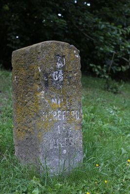
Milestone At National Grid Reference So 7031 3860, milestone in Ledbury, County of Herefordshire, UK
Location: Ledbury
Inception: 19 century
GPS coordinates: 52.04458,-2.43437
Latest update: March 6, 2025 16:45
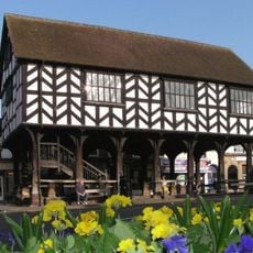
Market House
1.2 km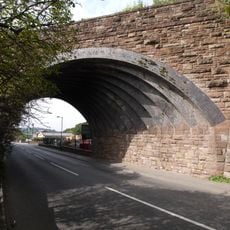
Hereford Road Skew Bridge
398 m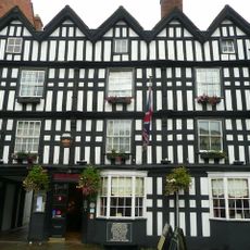
The Feathers Hotel
1.2 km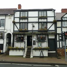
Horseshoe Inn
983 m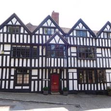
The Church House
1.2 km
1, Church Street
1.1 km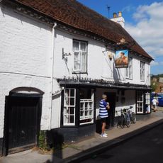
Brewery Inn
1 km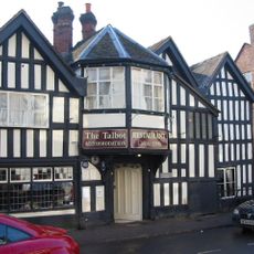
Old Talbot Inn
1.3 km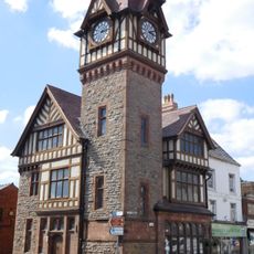
Barrett Browning Institute
1.1 km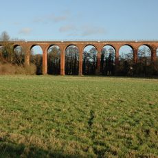
Ledbury Viaduct
267 m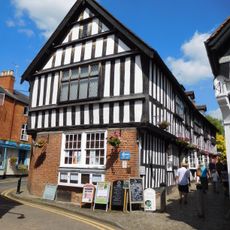
The Town Council Offices
1.2 km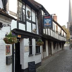
The Old Grammar School
1.2 km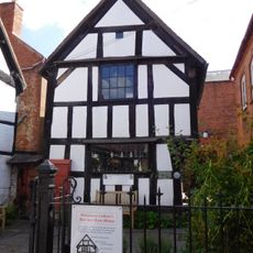
Butcher Row House Museum
1.2 km
Alviston House
1.2 km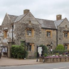
St Katherine's Hospital And Almshouses
1.2 km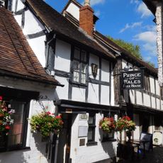
Prince Of Wales Inn
1.2 km
8, High Street
1.2 km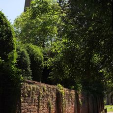
Garden Wall South And West Of Lower Hall
1.2 km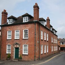
Magistrates' House And Number 1, 2 And 3 Magistrates' Court
1.2 km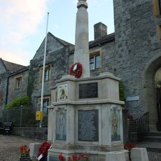
Ledbury War Memorial
1.2 km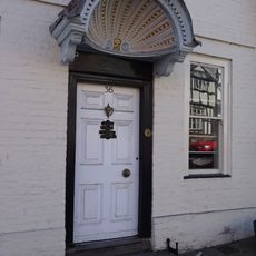
Shell House
994 m
Tudor House
1.3 km
The Steppes
1.2 km
Public Lavatories
1.2 km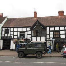
St Cuthbert's
967 m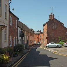
Former Sargents House
1.2 km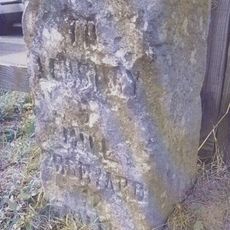
Milestone At National Grid Refernce So 7070 3911
676 m
9, High Street
1.2 kmReviews
Visited this place? Tap the stars to rate it and share your experience / photos with the community! Try now! You can cancel it anytime.
Discover hidden gems everywhere you go!
From secret cafés to breathtaking viewpoints, skip the crowded tourist spots and find places that match your style. Our app makes it easy with voice search, smart filtering, route optimization, and insider tips from travelers worldwide. Download now for the complete mobile experience.

A unique approach to discovering new places❞
— Le Figaro
All the places worth exploring❞
— France Info
A tailor-made excursion in just a few clicks❞
— 20 Minutes