
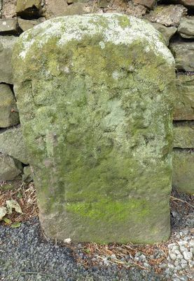
Boundary stone at NGR SJ 996 558, Grade II listed boundary marker in Leek, Staffordshire Moorlands, Staffordshire, UK
Location: Leek
Part of: political border
GPS coordinates: 53.09985,-2.00799
Latest update: March 3, 2025 01:38
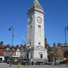
Nicholson War Memorial
1.1 km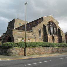
All Saints Church, Leek
1.1 km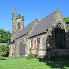
Church of St Luke
1 km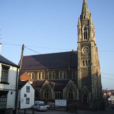
Church of St Mary
1.2 km
Trinity Church, Leek
1.3 km
Roebuck Inn
1.2 km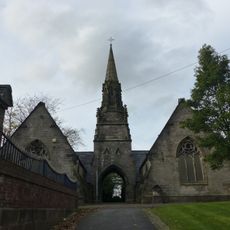
Cemetery Chapels
1.1 km
The Unicorn Public House
1.3 km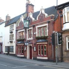
The Quiet Woman Public House
1.3 km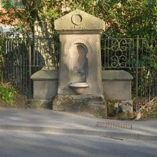
Drinking Water Fountain
1.1 km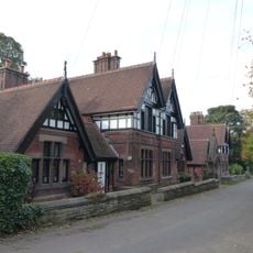
Condlyffe Almshouses
1.1 km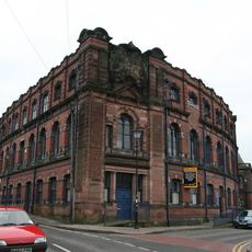
Cross Street Mills
905 m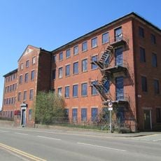
London Mill
860 m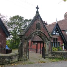
Entrance gate and flanking wall to Condlyffe Almshouses
1.1 km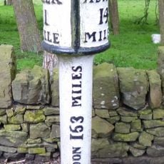
Milepost at NGR SJ 996 557
79 m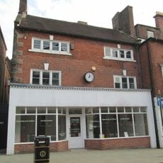
23 and 25, Derby Street
1.2 km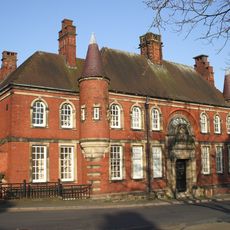
Police Station And Superintendents House Including Stables And Boundary Wall
1.1 km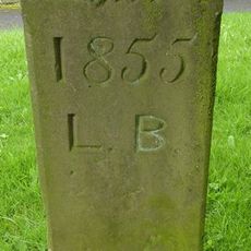
Boundary stone at NGR SJ 986 552
1.1 km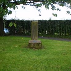
Plague stone at NGR SJ 986 551
1.2 km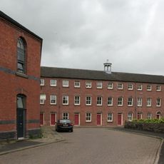
Albion Mill
1.2 km
35-41, London Street
1.1 km
27-33, London Street
1.1 km
Ash Almshouses, retaining wall and railings
1.3 km
38-46, King Street
1.2 km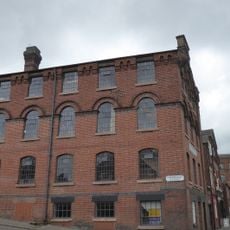
12, Haywood Street
1.1 km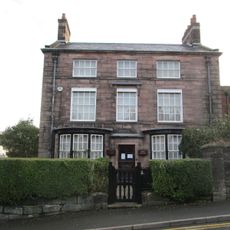
Ford House
1.3 km
Milestone, Ash Almshouses, Broad Street
1.2 km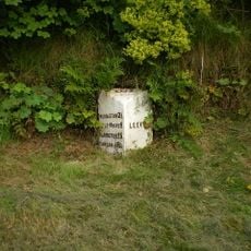
Milepost, S of Leek town centre
1.1 kmReviews
Visited this place? Tap the stars to rate it and share your experience / photos with the community! Try now! You can cancel it anytime.
Discover hidden gems everywhere you go!
From secret cafés to breathtaking viewpoints, skip the crowded tourist spots and find places that match your style. Our app makes it easy with voice search, smart filtering, route optimization, and insider tips from travelers worldwide. Download now for the complete mobile experience.

A unique approach to discovering new places❞
— Le Figaro
All the places worth exploring❞
— France Info
A tailor-made excursion in just a few clicks❞
— 20 Minutes