
Boundary Stone At Sd 8054 3323, boundary marker in Padiham, Burnley, Lancashire, UK
Location: Padiham
Part of: political border
GPS coordinates: 53.79520,-2.29686
Latest update: March 8, 2025 15:20

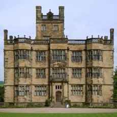
Gawthorpe Hall
846 m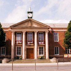
Town Hall
1.2 km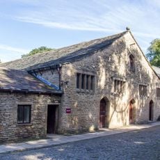
Great Barn circa 100 metres west of Gawthorpe Hall
803 m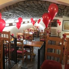
Cellar Restaurant
1.5 km
Church of All Saints, Habergham Eaves
450 m
Church of St Leonard
1.5 km
Nazareth Unitarian Church
1.7 km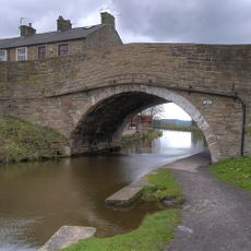
Canal Bridge Number 121
1.7 km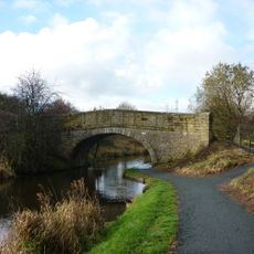
Canal Bridge (Knotts Bridge)
1.1 km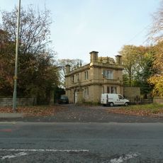
Habergham Lodge With Attached Gate Piers
555 m
Green Farm Cottage Green Farm House
1.1 km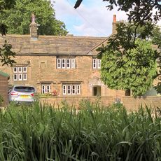
Hargrove Farmhouse
1.8 km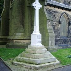
All Saints Church WW1 and WW2 Cross
441 m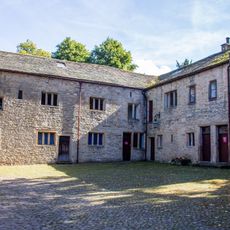
Estate Offices Etc, On South Side Of Courtyard, Circa 20 Metres South Of Great Barn
792 m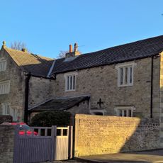
Stockbridge House
768 m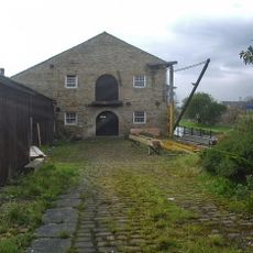
Warehouse And Canal Cottage At Dugdale Wharf
1.1 km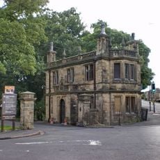
Stockbridge Lodge
691 m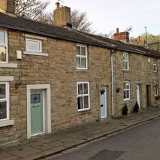
2-22, Lowerhouse Fold
627 m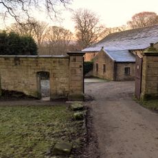
Gate Piers And Boundary Wall To Courtyard Of Former Home Farm To Gawthorpe Hall
761 m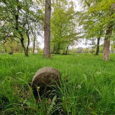
Boundary Stone At Sd 8046 3337
158 m
Game Larder Circa 30 Metres West Of Gawthorpe Hall On North Side Of Path To Great Barn
835 m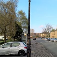
Lamp Post Opposite Number 217
643 m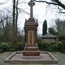
Padiham War Memorial
1.7 km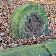
Boundary Stone On West Side Approximately 50 Metres South Of Junction With Ighten Road
1.7 km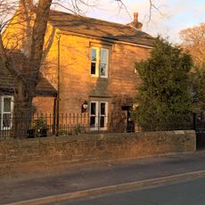
487, Padiham Road
332 m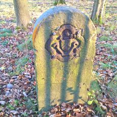
Boundary Stone On East Side Approximately 50 Metres South Of Junction With Ighten Road
1.7 km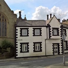
1 and 3 Moor Lane
1.5 km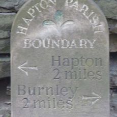
Milestone, Hapton
1.4 kmReviews
Visited this place? Tap the stars to rate it and share your experience / photos with the community! Try now! You can cancel it anytime.
Discover hidden gems everywhere you go!
From secret cafés to breathtaking viewpoints, skip the crowded tourist spots and find places that match your style. Our app makes it easy with voice search, smart filtering, route optimization, and insider tips from travelers worldwide. Download now for the complete mobile experience.

A unique approach to discovering new places❞
— Le Figaro
All the places worth exploring❞
— France Info
A tailor-made excursion in just a few clicks❞
— 20 Minutes