Dapps, building in Hurstpierpoint and Sayers Common, Mid Sussex, West Sussex, UK
Location: Hurstpierpoint and Sayers Common
GPS coordinates: 50.91460,-0.16743
Latest update: November 19, 2025 02:41
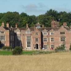
Danny House
659 m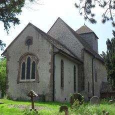
St John the Baptist's Church, Clayton
1.1 km
Wolstonbury
784 m
Pyecombe Manor
1.5 km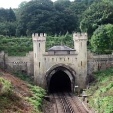
Clayton Tunnel North Portal Tunnel Cottage
971 m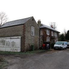
Star House
1.6 km
Cross dyke and bowl barrow 310m south east of Wolstonbury Camp
1 km
Little Danny Farmhouse
459 m
Wolstonbury Camp: a Ram's Hill type enclosure on Wolstonbury Hill and associated later remains
781 m
Hautboys
240 m
Romano-British villa at Randolph's Farm
1 km
Southdown Lodge
1 km
Roman road and 18th century coaching road N of Pyecombe church
1.3 km
Randolph's Farmhouse
1.3 km
Platform barrow 300m south of Wolstonbury Camp
1 km
Dove Cote To Danny
509 m
Barn Adjoining No 44 On The South West
1.5 km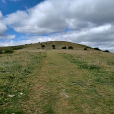
Romano-British farmstead, field system and trackway on Wolstonbury Hill
522 m
Clayton Castle
1.6 km
The Former Stables To The North West Of Danny And Towards The West End Of The Office Courtyard
724 m
Hillside
1.1 km
Danny Corner Randiddles
1.5 km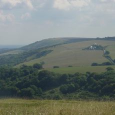
Wolstonbury Hill
689 m
Star Cottage
1.6 km
Clayton Manor
1.5 km
Bearstakes
1 km
The Budding Foundation Museum of Gardening
1.3 km
The Former Coach House To The North West Of Danny And At The East End Of The North Side Of The Office Courtyard
714 mReviews
Visited this place? Tap the stars to rate it and share your experience / photos with the community! Try now! You can cancel it anytime.
Discover hidden gems everywhere you go!
From secret cafés to breathtaking viewpoints, skip the crowded tourist spots and find places that match your style. Our app makes it easy with voice search, smart filtering, route optimization, and insider tips from travelers worldwide. Download now for the complete mobile experience.

A unique approach to discovering new places❞
— Le Figaro
All the places worth exploring❞
— France Info
A tailor-made excursion in just a few clicks❞
— 20 Minutes