
Stable Block 70 Metres West Of Newbiggin Hall, stable in Hexhamshire Low Quarter, Northumberland, UK
Location: Hexhamshire Low Quarter
GPS coordinates: 54.94160,-2.08835
Latest update: November 16, 2025 02:30
Methodist Chapel
2.4 km
Black Hall Cottage
2.3 km
Dipton Mill Bridge
1.5 km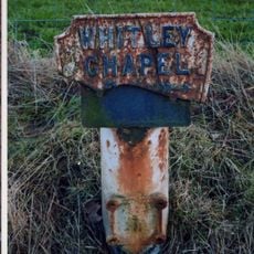
Mile Post On East Side Of Road At Ngr Ny 94615988
913 m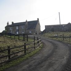
Dotland Park Farmhouse
1.4 km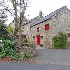
Middle Shield House
2.5 km
Roadside Spring 300 Metres South Of Holly Bush
1.6 km
The 'Tannery', To South East Of High Shield House
2.4 km
Sunniside Farmhouse
1.7 km
Water Tower At Swallowship House
1.6 km
Houtley Farmhouse
856 m
Old Mill At Linnel Dene
1 km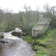
Old Mill 30 Metres South West Of Linnels Bridge
1.3 km
High Shield House
2.4 km
Gate Lodge, Piers And Walls 100 Metres South-West Of Newbiggin Hall
32 m
Farmbuildings Adjacent To Stable Block, And Attached Roadside Wall
20 m
Farmbuildings 20 Metres West Of Black Hall Farmhouse
2.3 km
Wing Of Medieval House And Adjacent Later Outbuildings
2.3 km
Wall 250 Yards Long Screening Oakerland From Road
1.7 km
Nunsbrough 0.5 Km North-East Of Ordley
1.3 km
Black Hall
2.3 km
Garden Walls With Attached Outbuildings And Railings, 150 Metres East Of Newbiggin Hall
277 m
Sheild Hall Farmhouse
2.3 km
Farmbuildings To West Of House
1.4 km
Newbiggin Hall And Attached Garden Wall To North-East
79 m
East Peterel Field Farmhouse
1.9 km
Swallowship House
1.6 km
Oakerland
1.7 kmReviews
Visited this place? Tap the stars to rate it and share your experience / photos with the community! Try now! You can cancel it anytime.
Discover hidden gems everywhere you go!
From secret cafés to breathtaking viewpoints, skip the crowded tourist spots and find places that match your style. Our app makes it easy with voice search, smart filtering, route optimization, and insider tips from travelers worldwide. Download now for the complete mobile experience.

A unique approach to discovering new places❞
— Le Figaro
All the places worth exploring❞
— France Info
A tailor-made excursion in just a few clicks❞
— 20 Minutes