The Knapp, architectural structure in Upton St. Leonards, Stroud, Gloucestershire, UK
Location: Upton St Leonards
GPS coordinates: 51.82293,-2.18661
Latest update: November 23, 2025 00:20

Grimes Monument In The Churchyard Approximately 2.5 Metres East Of Chancel To Church Of St Leonard
1.5 km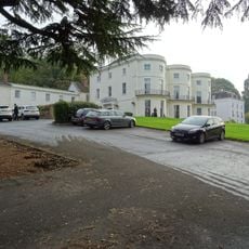
Bowden Hall Hotel
1.3 km
Teckels Cottage
775 m
Thatch Cottage
1.5 km
Primrose Cottage
611 m
Barn To North East Of Gastrells Farmhouse
120 m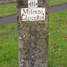
Milestone about 10m SW of King's Head Public House
1.5 km
Warnless Cottage
1.4 km
Well Head To West Of Primary School
1.5 km
Barn To North Of Upton Mill
1.1 km
Manor Farmhouse
291 m
Cider House And Stable To South East Of Gastrells Farmhouse
92 m
Farm Group Circa 75 Metres North Of Home Farm
1.4 km
Sundial In The Churchyard Approximately 40 Metres East Of Church Of St Leonard
1.5 km
Barn To North West Of Manor Farmhouse
333 m
Primary School
1.5 km
Spring Building Approximately 300 Metres South East Of St Peter's Grange
1.2 km
Upton Mill And Attached House
1.1 km
Black And White House
1.2 km
Boundary Wall,Railings And Gates To School,With Attached Churchyard Gatepiers And Gates
1.5 km
Upper Lodge With Gates And Gatepiers
1.3 km
Kimsbury House
1.1 km
Valley Farmhouse
328 m
Little Court
1.4 km
Maytree Cottage
609 m
Bondend Farmhouse
1.4 km
Prinknash Bird and Deer Park
665 m
Scenic viewpoint
1.2 kmReviews
Visited this place? Tap the stars to rate it and share your experience / photos with the community! Try now! You can cancel it anytime.
Discover hidden gems everywhere you go!
From secret cafés to breathtaking viewpoints, skip the crowded tourist spots and find places that match your style. Our app makes it easy with voice search, smart filtering, route optimization, and insider tips from travelers worldwide. Download now for the complete mobile experience.

A unique approach to discovering new places❞
— Le Figaro
All the places worth exploring❞
— France Info
A tailor-made excursion in just a few clicks❞
— 20 Minutes