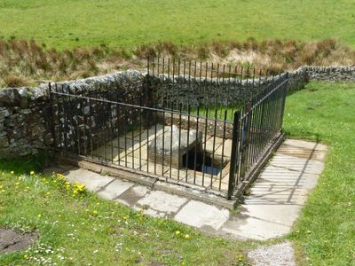
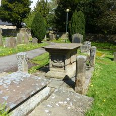
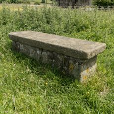
Mompesson's Well, Historic water well in Eyam, England.
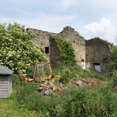
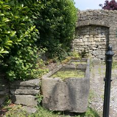
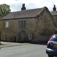
Mompesson's Well is a historic water well in Eyam, featuring a stone structure with a circular basin set in the rolling limestone landscape of the English Peak District. The well sits at a particular location that connected the village to the outside world during the 17th century.
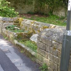
During the 1665 plague outbreak, this well became a critical point of contact between Eyam and the outside world when the villagers chose to quarantine themselves. The location transformed into a place where essential exchanges could happen safely, allowing the community to survive while protecting neighbors.
This well stands as a reminder of the community's sacrifice during a time of crisis, showing how ordinary people in a small village made extraordinary choices to protect others. Visitors can see the physical place where compassion took practical form.
The well sits near the village center and is accessible via marked walking paths, with informational signs on site explaining its role in the story. Comfortable walking shoes are recommended since the terrain is rolling and weather in the Peak District can change quickly.
The well served as more than just a water source, it was where villagers disinfected coins by soaking them in vinegar to conduct safe business with outsiders. This practical solution shows how people improvised to maintain contact while staying protected.
The community of curious travelers
AroundUs brings together thousands of curated places, local tips, and hidden gems, enriched daily by 60,000 contributors worldwide.