The Platt, architectural structure in Elsted and Treyford, Chichester, West Sussex, UK
Location: Elsted and Treyford
GPS coordinates: 50.96951,-0.83977
Latest update: November 22, 2025 09:30

Harting Beacon: a hilltop enclosure, Anglo-Saxon burial mound and telegraph station on Beacon and Pen Hills
1.5 km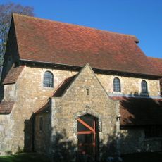
The Parish Church of St Paul
248 m
Ruins Of The Old Parish Church Of St Mary
1.2 km
Treyford Manor
1.3 km
The Three Horseshoes Public House
272 m
Dairy Cottage
1.7 km
Mill Cottage
21 m
Penns Farmhouse
1.6 km
St Stephen's Cottage
1.5 km
Old Manor Cottage
1.3 km
Cherry Tree Cottage
1.6 km
Marden Farmhouse
1.6 km
Slatehouse Farmhouse
190 m
The Old Farm
1.6 km
3, Midhurst Road
159 m
The Roughs
128 m
Tye Oak Farmhouse
1.6 km
Treyford Manor Farmhouse
1.4 km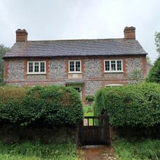
Brook House
1.4 km
The Manor House
223 m
Plum Tree Cottage
1.6 km
The School House
103 m
Blackmores
186 m
K6 Telephone Kiosk In The Centre Of Elsted Village
136 m
Mill Cottage
1.3 km
Dovecot At Treyford Manor To The South East Of The House
1.3 km
The Studio
1.3 km
Scenic viewpoint
1.4 kmReviews
Visited this place? Tap the stars to rate it and share your experience / photos with the community! Try now! You can cancel it anytime.
Discover hidden gems everywhere you go!
From secret cafés to breathtaking viewpoints, skip the crowded tourist spots and find places that match your style. Our app makes it easy with voice search, smart filtering, route optimization, and insider tips from travelers worldwide. Download now for the complete mobile experience.

A unique approach to discovering new places❞
— Le Figaro
All the places worth exploring❞
— France Info
A tailor-made excursion in just a few clicks❞
— 20 Minutes