
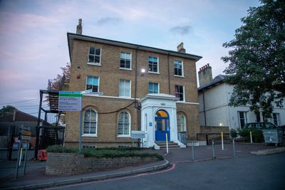
111, Denmark Hill, building in Southwark, Greater London, UK
Location: London Borough of Southwark
GPS coordinates: 51.46833,-0.09115
Latest update: March 10, 2025 06:32
Ruskin Park
442 m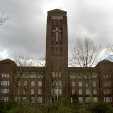
William Booth Memorial Training College
253 m
103 Denmark Hill - Maudsley Hospital
131 m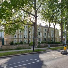
The Platanes (Now King's College Hall)
505 m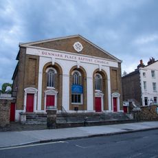
Denmark Place Baptist Church
291 m
97, Denmark Hill
208 m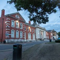
99 Denmark Hill, Maudsley Hospital
169 m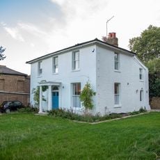
White Lodge
391 m
49-55, Grove Lane
429 m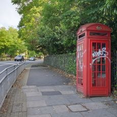
K2 Telephone Kiosk, Outside Ruskin Park Opposite Champion Hill
262 m
Numbers 143-149 And Attached Balconies
392 m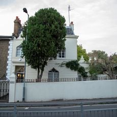
Gate Posts To Number 83 (Cliftonville)
331 m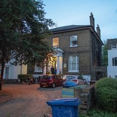
93, Denmark Hill
240 m
95, Denmark Hill
225 m
106 And 108, Denmark Hill Se5
321 m
Numbers 197 And 199 And Handrail And Area Railings
553 m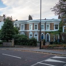
103-109, Grove Lane
325 m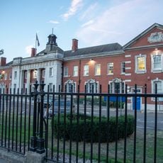
Maudsley Hospital Administration Block
49 m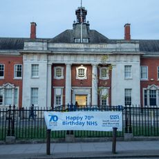
Railings To Maudsley Hospital
74 m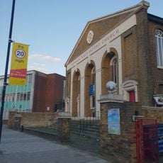
Forecourt Wall, Railings And Piers To Denmark Place Baptist Church
323 m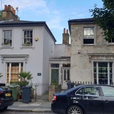
56 And 58, Southwell Road Se5
494 m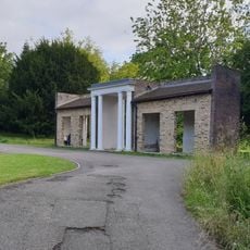
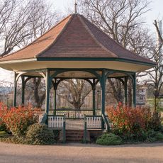
Ruskin Park Portico shelter
273 m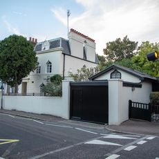
Outbuilding To Number 83 (Cliftonville)
335 m
111 And 113, Grove Lane
325 m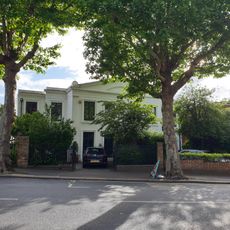
112 And 114, Grove Lane
390 m
Cliftonville
341 m
Numbers 18-60 And Area Railings
448 m
Numbers 124 And 125 Including Balustraded Wall, Gates And Railings
523 mVisited this place? Tap the stars to rate it and share your experience / photos with the community! Try now! You can cancel it anytime.
Discover hidden gems everywhere you go!
From secret cafés to breathtaking viewpoints, skip the crowded tourist spots and find places that match your style. Our app makes it easy with voice search, smart filtering, route optimization, and insider tips from travelers worldwide. Download now for the complete mobile experience.

A unique approach to discovering new places❞
— Le Figaro
All the places worth exploring❞
— France Info
A tailor-made excursion in just a few clicks❞
— 20 Minutes