
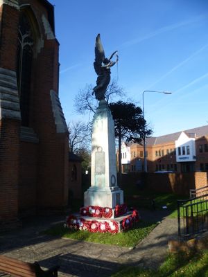
Swanley War Memorial, war memorial in Swanley, Sevenoaks, Kent, UK
Location: Swanley
Creator: Louis Frederick Roslyn
Accessibility: Dostępne dla wózków inwalidzkich
GPS coordinates: 51.39760,0.17231
Latest update: March 8, 2025 15:50
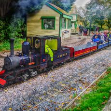
Swanley New Barn Railway
900 m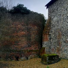
St Botolph's Church, Ruxley
3.1 km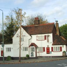
The Bull
3.8 km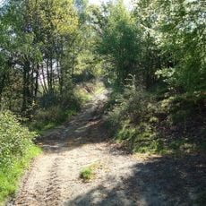
The Warren
2.6 km
Farningham Wood
2.9 km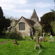
Church of St Paulinus
3.8 km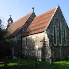
Church of All Souls
1.8 km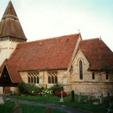
Church of Saint Paul
2 km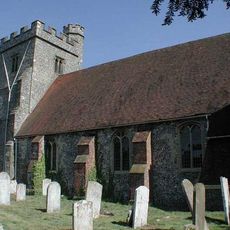
Church of Saint Peter and Saint Paul
3.9 km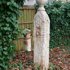
Coal Duty Boundary Marker (In The Fence To The Back Of The Garden Of Number 57 Baldwyn's Park) And Adjacent Iron Bollard
3.8 km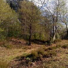
Faesten Dic, a medieval frontier work in Joydens Wood
3.1 km
The Lion Hotel
3.8 km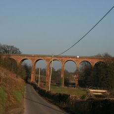
Eynsford Viaduct
3.9 km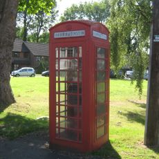
K6 Telephone Kiosk Junction Of Sandy Lane
3.8 km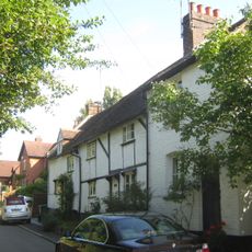
1-3, Chapmans Lane
3.7 km
Farningham Bridge
3.8 km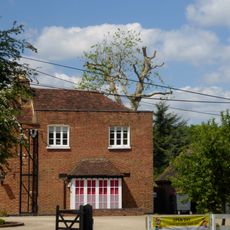
Ruxley Farmhouse
3.2 km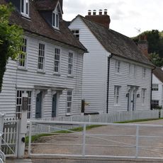
The Stables Of The Mill House, The Counting House And Gardeners Cottage
3.7 km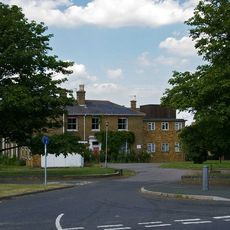
The Mount
3.5 km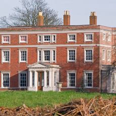
Kevington County Primary School
3.5 km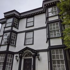
The White House
3.7 km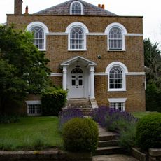
The Mount
3.6 km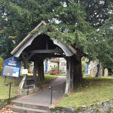
Lychgate to All Souls Church
1.7 km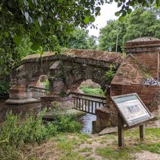
Ornamental Screen Across The River To The North East Of The Bridge
3.8 km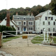
Mill House
3.7 km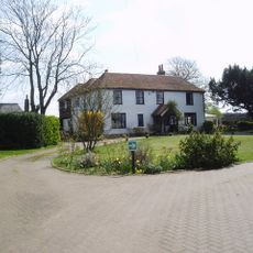
Hockenden House
1.8 km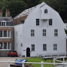
The Water Mill
3.7 km
Milepost, Maidstone Road, Ruxley, E of Glebe Cottages, W of entrance to Manor Farm
3.1 kmVisited this place? Tap the stars to rate it and share your experience / photos with the community! Try now! You can cancel it anytime.
Discover hidden gems everywhere you go!
From secret cafés to breathtaking viewpoints, skip the crowded tourist spots and find places that match your style. Our app makes it easy with voice search, smart filtering, route optimization, and insider tips from travelers worldwide. Download now for the complete mobile experience.

A unique approach to discovering new places❞
— Le Figaro
All the places worth exploring❞
— France Info
A tailor-made excursion in just a few clicks❞
— 20 Minutes