
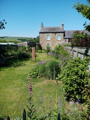
6, Low Park, house in West Woodburn, Northumberland, England, UK
Habitancum
612 m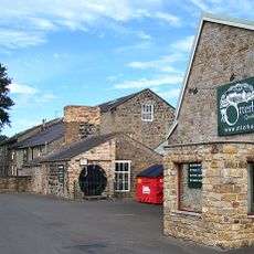
Otterburn Mill
6.3 km
Church of St Cuthbert
2.6 km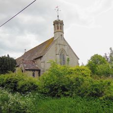
Church of All Saints
637 m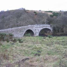
East Woodburn Bridge
1.1 km
West Woodburn Bridge
209 m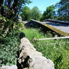
Chairford Bridge
1.3 km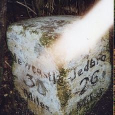
Milestone, East Otterburn
6.2 km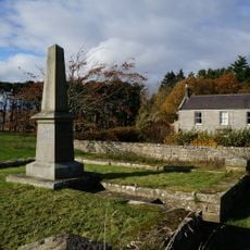
Corsenside Parish War Memorial, West Woodburn
720 m
Milestone Circa 400 Yards North West Of Ottercops Road End
6.2 km
Fountain Base C.80 Yards South Of Otterburn Tower
6.4 km
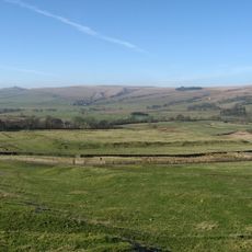
Great Wanney
5 km
Tenters C.40 Yards South-East Of Otterburn Mill
6.1 km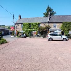
Bay Horse Inn
250 m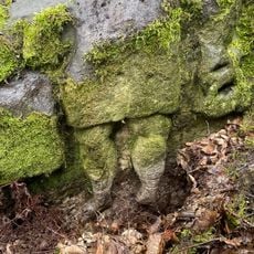
'Robin of Risingham' Roman Rock Carving
1.2 km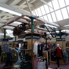
Bleach House Circa 20 Yards South East Of Otterburn Mills
6.1 km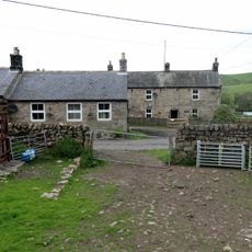
Townfoot Farmhouse And Attached Farm Buildings And Cottages
950 m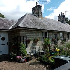
4 And 5, Bank Foot
6.3 km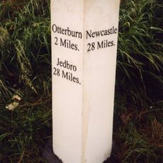
Milestone Circa A Quarter Of A Mile West Of Raylees
5.4 km
5, Low Park
8 m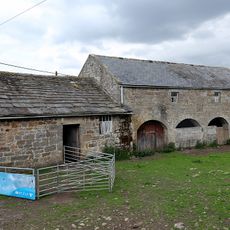
Farmbuildings 20 Yards South-East Of Townfoot Farmhouse
987 m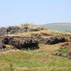
Ridsdale ironworks
2.5 km
Broadgate
521 m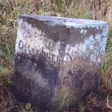
Milestone Circa 1000 Yards South Of Blaxter Cottages
5.7 km
Hole Bastle, 20 yards north of Hole Farmhouse
3.5 km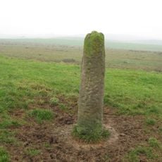
Roman milestone N of Waterfalls Farm
5.4 km
Milestone, Raylees
5.5 km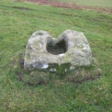
Medieval cross, 150m west of Woodburnhill Farm
1.7 kmReviews
Visited this place? Tap the stars to rate it and share your experience / photos with the community! Try now! You can cancel it anytime.
Discover hidden gems everywhere you go!
From secret cafés to breathtaking viewpoints, skip the crowded tourist spots and find places that match your style. Our app makes it easy with voice search, smart filtering, route optimization, and insider tips from travelers worldwide. Download now for the complete mobile experience.

A unique approach to discovering new places❞
— Le Figaro
All the places worth exploring❞
— France Info
A tailor-made excursion in just a few clicks❞
— 20 Minutes