
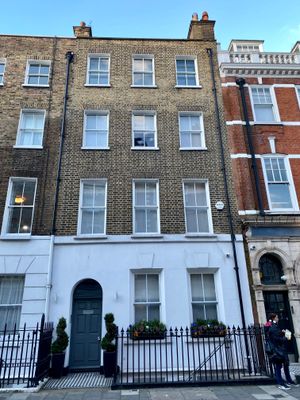
2, Nottingham Street W1, City of Westminster, Greater London, W1U
Location: City of Westminster
GPS coordinates: 51.52148,-0.15225
Latest update: March 20, 2025 17:36
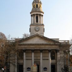
St Marylebone Parish Church, Marylebone
159 m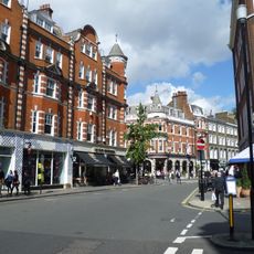
Marylebone High Street
202 m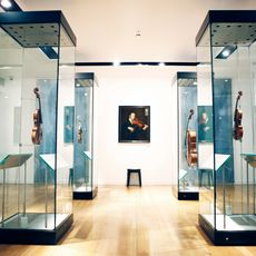
Royal Academy of Music Museum
203 m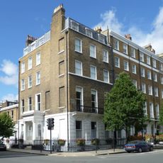
Royal Philatelic Society London
173 m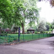
Paddington Street Gardens
188 m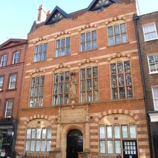
Church Institute & Club
102 m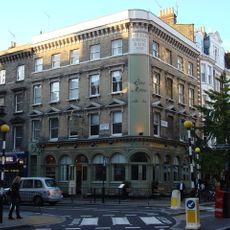
The Old Rising Sun Public House
68 m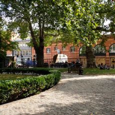
3 Lamp Standards In St Mary's Marylebone Churchyard
130 m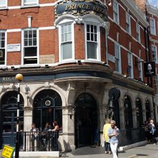
Prince Regent Public House
10 m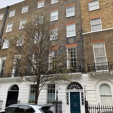
13, Devonshire Place W1
193 m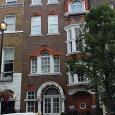
7, Upper Wimpole Street W1
217 m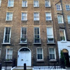
4, Nottingham Street W1
12 m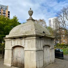
Fitzpatrick Family Mausoleum On East Side Of The Southern Half Of Public Gardens
184 m
8-12, York Gate Nw1
221 m
34, Weymouth Street
215 m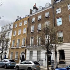
8-13, Upper Wimpole Street W1
202 m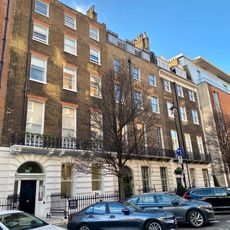
23-25, Devonshire Place W1
177 m
24, Upper Wimpole Street W1
211 m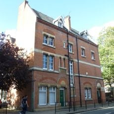
Marylebone Adult Education Centre
85 m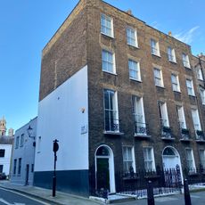
5, Nottingham Street W1
18 m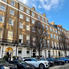
33-41, Devonshire Place W1
147 m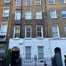
3, Nottingham Street W1
6 m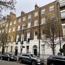
14-23, Upper Wimpole Street W1
182 m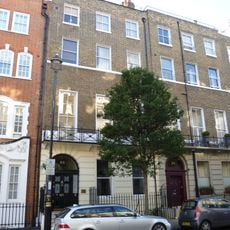
25, Upper Wimpole Street W1
217 m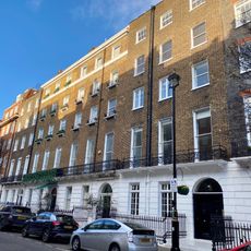
14-17, Devonshire Place W1
201 m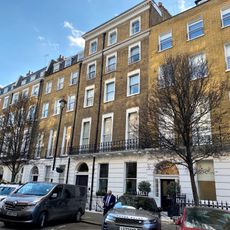
27-31, Devonshire Place W1
157 m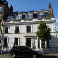
36, Weymouth Street
206 m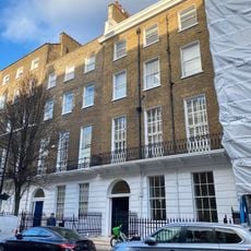
6-12, Devonshire Place W1
184 mReviews
Visited this place? Tap the stars to rate it and share your experience / photos with the community! Try now! You can cancel it anytime.
Discover hidden gems everywhere you go!
From secret cafés to breathtaking viewpoints, skip the crowded tourist spots and find places that match your style. Our app makes it easy with voice search, smart filtering, route optimization, and insider tips from travelers worldwide. Download now for the complete mobile experience.

A unique approach to discovering new places❞
— Le Figaro
All the places worth exploring❞
— France Info
A tailor-made excursion in just a few clicks❞
— 20 Minutes