
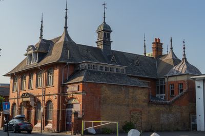
Rothbury Hall, house in Greenwich, Greater London, UK
Location: Royal Borough of Greenwich
GPS coordinates: 51.48905,0.00799
Latest update: March 3, 2025 02:16
Greenwich Millennium Village
782 m
East Greenwich Pleasaunce
648 m
Trinity Hospital
806 m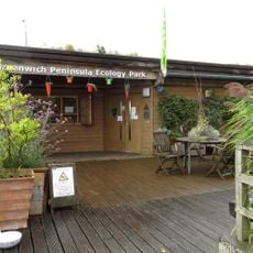
Greenwich Peninsula Ecology Park
869 m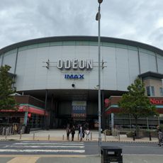
Odeon North Greenwich
373 m
1-12, Park Vista Se10
876 m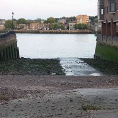
Newcastle Draw Dock
890 m
The Watermans Arms
964 m
Southern Tunnel House
952 m
Enderby House
405 m
12-16, Ballast Quay Se10
612 m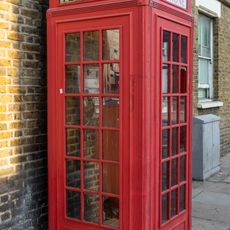
K2 Telephone Kiosk At Junction With Trafalgar Road
422 m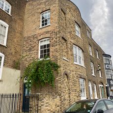
9, Ballast Quay Se10
641 m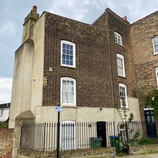
10, Ballast Quay Se10
636 m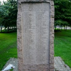
East Greenwich Gas Works War Memorial
749 m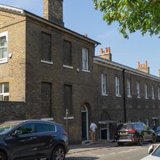
32-40, Maze Hill Se10
908 m
70-84, River Way Se10
829 m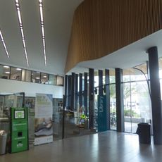
Greenwich Centre Library
390 m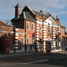
East Greenwich Library
636 m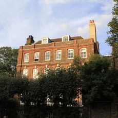
47 And 49, Maze Hill Se10
886 m
122 And 124, Old Woolwich Road
603 m
Bollards At Dock Entrance To Newcastle Draw Dock
932 m
8, Ballast Quay Se10
645 m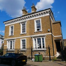
Harbour Master's Office
582 m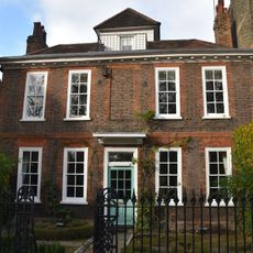
The Manor House
955 m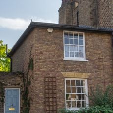
142, Old Woolwich Road
555 m
Lodge To Trinity Hospital, West Of Main Block
849 m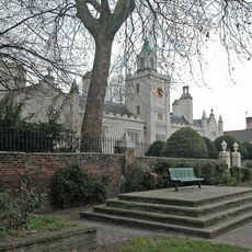
Front Wall To Trinity Hospital
818 mReviews
Visited this place? Tap the stars to rate it and share your experience / photos with the community! Try now! You can cancel it anytime.
Discover hidden gems everywhere you go!
From secret cafés to breathtaking viewpoints, skip the crowded tourist spots and find places that match your style. Our app makes it easy with voice search, smart filtering, route optimization, and insider tips from travelers worldwide. Download now for the complete mobile experience.

A unique approach to discovering new places❞
— Le Figaro
All the places worth exploring❞
— France Info
A tailor-made excursion in just a few clicks❞
— 20 Minutes