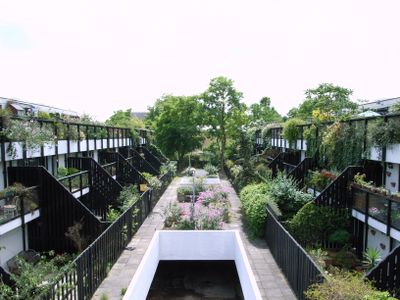
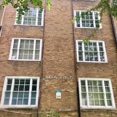
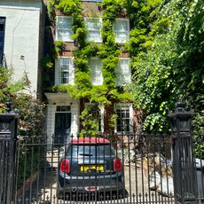
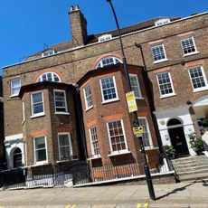
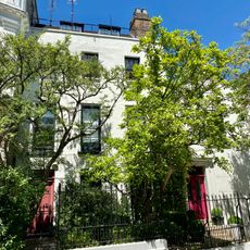
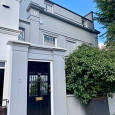
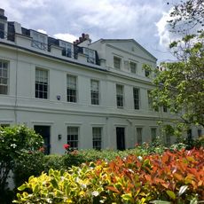
Dunboyne Road Estate, Modernist residential estate in Gospel Oak, London, England.
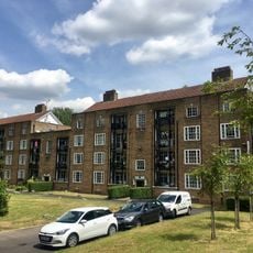
Dunboyne Road Estate comprises 71 houses arranged in parallel rows with staggered levels that create a dense yet human-scaled residential area. Each home features multiple levels with large terraces overlooking communal gardens, connected to living spaces through full-height glass doors.
Designed by architect Neave Brown in 1967, the estate pioneered low-rise high-density housing connected to nearby public buildings in London. This approach demonstrated a new way to create residential spaces in an urban setting without tall towers.
The estate's layout encourages neighbors to interact through its shared garden spaces and semi-public pathways. Daily life here revolves around the balance between private terraces and communal grounds that residents naturally pass through.
The estate is easy to explore on foot since homes are organized around accessible pedestrian pathways that allow views of the architecture. The open design with gardens gives you clear sightlines to understand how the layout works from different angles.
The homes are linked by glazed stairwells that bring light through all levels while connecting the community visually. This design choice lets residents move between floor levels while maintaining sight lines that tie the entire complex together.
The community of curious travelers
AroundUs brings together thousands of curated places, local tips, and hidden gems, enriched daily by 60,000 contributors worldwide.