
149, Brick Lane E1, building in Tower Hamlets, Greater London, UK
Location: London Borough of Tower Hamlets
GPS coordinates: 51.52423,-0.07175
Latest update: March 9, 2025 02:35
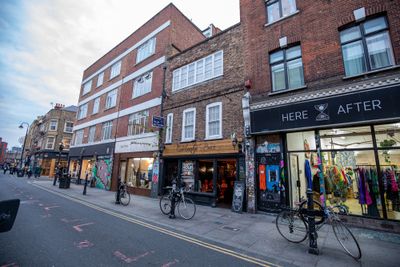
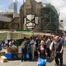
Brick Lane Market
83 m
Rich Mix
108 m
Owl and Pussycat
260 m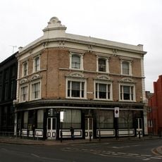
Knave of Clubs
175 m
113, Redchurch Street
79 m
Henley House
169 m
Sonning House
246 m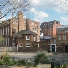
Rochelle Street Primary School House
255 m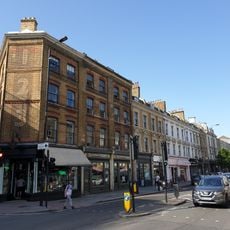
123-159, Bethnal Green Road E2
128 m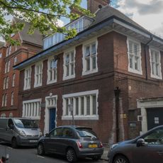
Porters' House (Former Laundry)
210 m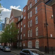
Cookham House
181 m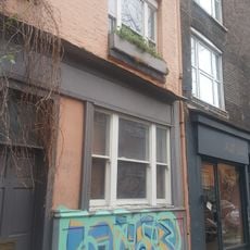
3 and 5 Club Row, with 31 Whitby Street
181 m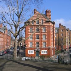
Hurley House
273 m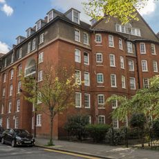
Clifton House
233 m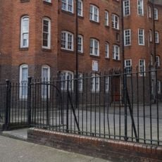
Iron Railings Gate And Gate Piers Between Laleham House And Hedsor House
276 m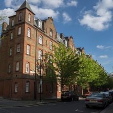
Walton House
184 m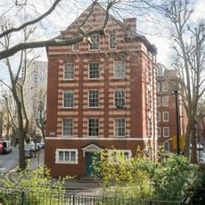
Sandford House
272 m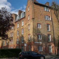
Culham House
259 m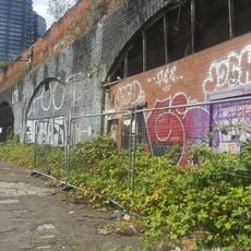
Braithwaite Viaduct
194 m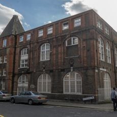
Rochelle Street Primary School
238 m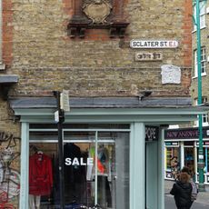
Number 125 With Attached Street Name Plaque To Sclater Street Street Name Plaque Attached To Number 125 Brick Lane
66 m
Former Nichol Street Infant School
223 m
Iron Railings At Rochelle Street Primary School
253 m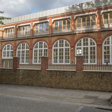
Wall At London Clinic Centre
229 m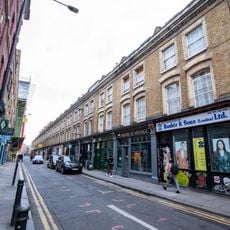
2-38, Cheshire Street E2
122 m
Iron Railings Between Henley House And Walton House
137 m
Playground Wall At Rochelle Street Primary School
253 m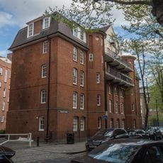
Molesey House
255 mVisited this place? Tap the stars to rate it and share your experience / photos with the community! Try now! You can cancel it anytime.
Discover hidden gems everywhere you go!
From secret cafés to breathtaking viewpoints, skip the crowded tourist spots and find places that match your style. Our app makes it easy with voice search, smart filtering, route optimization, and insider tips from travelers worldwide. Download now for the complete mobile experience.

A unique approach to discovering new places❞
— Le Figaro
All the places worth exploring❞
— France Info
A tailor-made excursion in just a few clicks❞
— 20 Minutes