
Glenwood, building in Greenwich, Greater London, UK
Location: Royal Borough of Greenwich
GPS coordinates: 51.47922,0.01671
Latest update: March 26, 2025 10:28
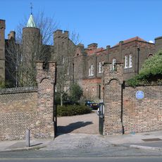
Vanbrugh Castle
856 m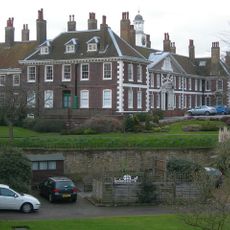
Morden College
1.1 km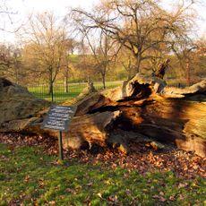
Queen Elizabeth's Oak, Greenwich Park
1 km
East Greenwich Pleasaunce
627 m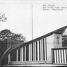
Church Army Chapel, Blackheath
216 m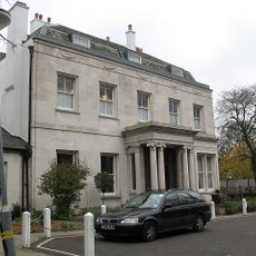
Woodlands House
52 m
Mycenae House
82 m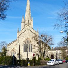
St John the Evangelist's Church
407 m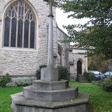
War memorial outside the Church of St John the Evangelist, Blackheath
412 m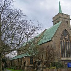
Church of St James
1.1 km
1-12, Park Vista Se10
1.1 km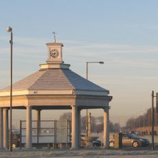
Memorial Shelter And Pavilion
665 m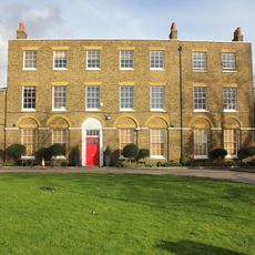
Christ's College Preparatory School
758 m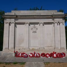
Borough of Greenwich War Memorial
665 m
111 And 115, Maze Hill Se10
907 m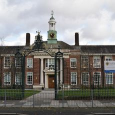
The John Roan School (Upper School)
672 m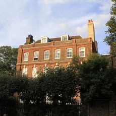
47 And 49, Maze Hill Se10
1 km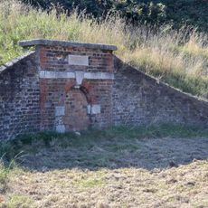
Conduit Head At One Tree Hill, Greenwich Park
1.1 km
3-14, South Row
1.1 km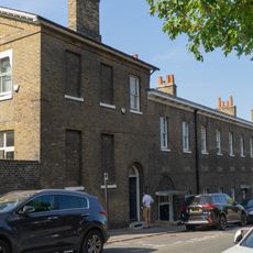
32-40, Maze Hill Se10
1 km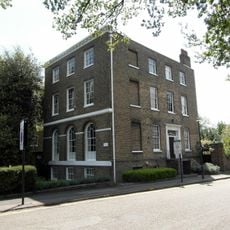
Paragon House
1.1 km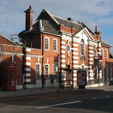
East Greenwich Library
819 m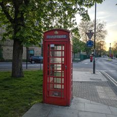
K6 Telephone Kiosk, Outside Westcombe Court
426 m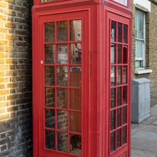
K2 Telephone Kiosk At Junction With Trafalgar Road
1 km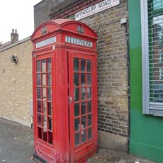
K2 Telephone Kiosk At Junction With Charlton Road
664 m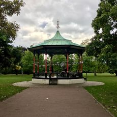
Bandstand To South Of Great Cross Avenue
1 km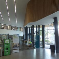
Greenwich Centre Library
897 m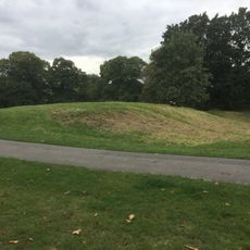
Romano-Celtic temple in Greenwich
845 mReviews
Visited this place? Tap the stars to rate it and share your experience / photos with the community! Try now! You can cancel it anytime.
Discover hidden gems everywhere you go!
From secret cafés to breathtaking viewpoints, skip the crowded tourist spots and find places that match your style. Our app makes it easy with voice search, smart filtering, route optimization, and insider tips from travelers worldwide. Download now for the complete mobile experience.

A unique approach to discovering new places❞
— Le Figaro
All the places worth exploring❞
— France Info
A tailor-made excursion in just a few clicks❞
— 20 Minutes