
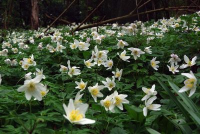
Westhouse Wood, Essex Wildlife Trust Nature reserve
Website: http://essexwt.org.uk/reserves/westhouse-wood
GPS coordinates: 51.90800,0.86900
Latest update: March 6, 2025 15:27
Camulodunum
2.7 km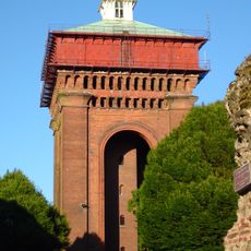
Jumbo Water Tower
2.6 km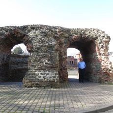
Balkerne Gate
2.7 km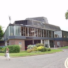
Mercury Theatre
2.7 km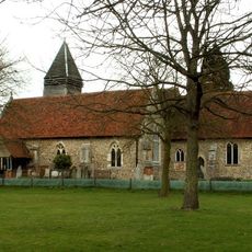
Old St Mary's Church, West Bergholt
2.3 km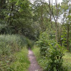
Lexden Gathering Grounds
1.9 km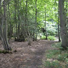
Iron Latch
2.7 km
Church of St John
2.4 km
Church of St Peter
2.8 km
The Victoria Inn
2.3 km
Church of St Leonard
2.1 km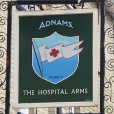
The Hospital Arms Public House
2.7 km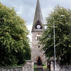
St Michael's Church
1.6 km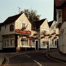
Stockwell Arms Inn
2.8 km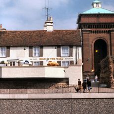
Hole In The Wall Public House
2.7 km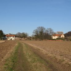
Cooks Hall
2.4 km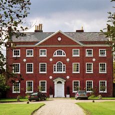
West Bergholt Hall
2.4 km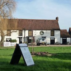
The White Hart Public House
1.9 km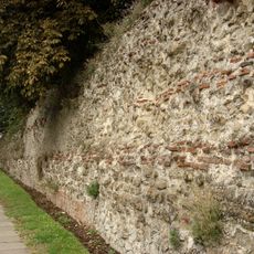
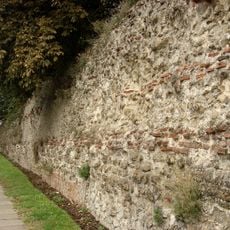
Colchester Roman town walls
2.6 km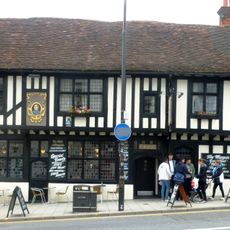
The Marquis Of Granby Inn
2.6 km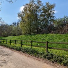
Moat Farm Dyke: a northern extension of Lexden Dyke; part of the Iron Age territorial oppidum and Romano-British town of Camulod
796 m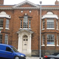
60, North Hill
2.7 km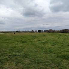
Site of pre-Roman settlement
2 km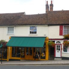
13-15, North Hill
2.7 km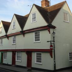
29-31, West Stockwell Street
2.7 km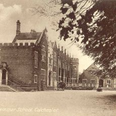
Royal Grammar School
2.7 km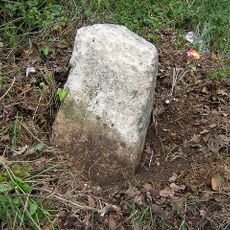
Milestone, Nayland Road, West Bergholt
2.2 km
Milestone, Lexden Road
2.2 kmReviews
Visited this place? Tap the stars to rate it and share your experience / photos with the community! Try now! You can cancel it anytime.
Discover hidden gems everywhere you go!
From secret cafés to breathtaking viewpoints, skip the crowded tourist spots and find places that match your style. Our app makes it easy with voice search, smart filtering, route optimization, and insider tips from travelers worldwide. Download now for the complete mobile experience.

A unique approach to discovering new places❞
— Le Figaro
All the places worth exploring❞
— France Info
A tailor-made excursion in just a few clicks❞
— 20 Minutes