Roman Road, Cambridgeshire, Ancient transportation route in Cambridgeshire, England.
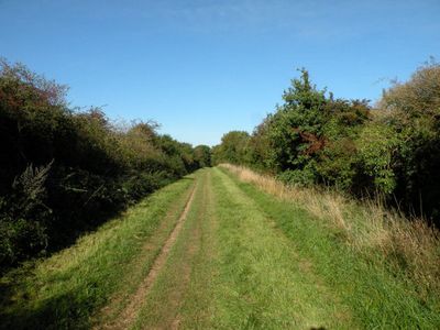
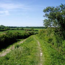
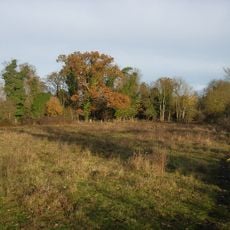
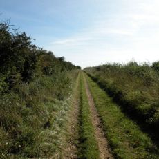
The Roman Road in Cambridgeshire is an elevated transportation route with parallel ditches on both sides and a consistently straight alignment over several kilometers. The northern section shows ditches spaced roughly 14 meters apart with a central carriageway measuring three to five meters wide.
Engineers built the road after the 1st century AD, laying foundations directly on cleared land and creating an elevated structure about 2 meters high. This construction demonstrates Roman engineering skill in creating long-lasting transport networks.
The road acquired different names throughout medieval times, such as Worsted Street, Wool Street, and Wolves Street, reflecting local commerce and land ownership patterns. These shifting names show how the route shaped regional economic activity across generations.
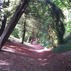
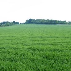
The route is easily accessible on foot or by bicycle and follows a clear, straight line through the countryside. The surface is uneven and can vary depending on season and weather conditions.
Archaeological excavations beneath the road surface reveal preserved soil layers containing fossils showing a shift from woodland to farmland before road construction. These remains offer insight into landscape changes caused by Roman expansion.
The community of curious travelers
AroundUs brings together thousands of curated places, local tips, and hidden gems, enriched daily by 60,000 contributors worldwide.