
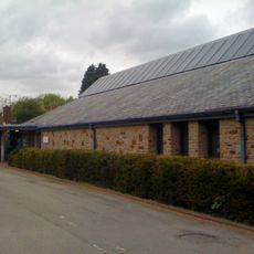
Coed-y-fon Farmhouse, including attached Granary and Cartshed
Coed-y-fon Farmhouse, including attached Granary and Cartshed, Grade II listed building in Llanhennock. About 500m west of Tredunock on the south side of the minor road that leads directly towards the Caerleon-Usk road
Location: Llanhennock
Elevation above the sea: 73.8 m
GPS coordinates: 51.64747,-2.91337
Latest update: March 31, 2025 05:20

Caerleon Roman Fortress and Baths
5 km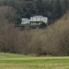
Glen Usk
2.1 km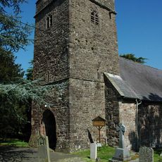
St Cybi's Church
2.1 km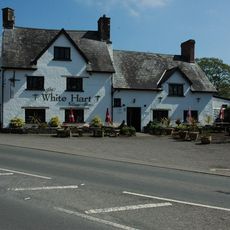
White Hart
2 km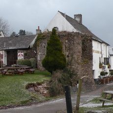
Caerleon Castle
4.9 km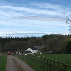
Ton Farmhouse
1.2 km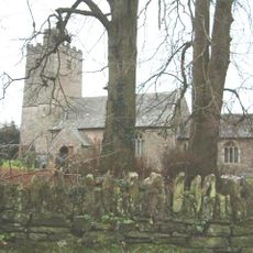
Church of St Peter, St Paul and St John
3.1 km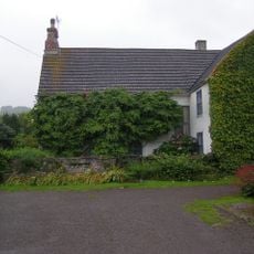
The Cwm
3.6 km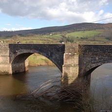
New Bridge
1.6 km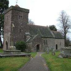
St Andrew's Church
1.1 km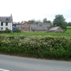
New House
2.2 km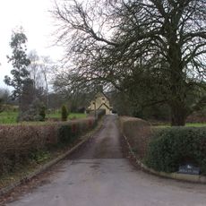
Berllan-deg
1.2 km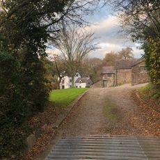
Nantybanw
4.6 km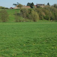
Pentwyn
5 km
Church of St Tegfedd
3.2 km
Church Of All Saints
5 km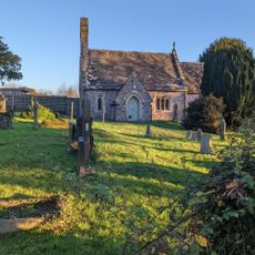
St David's Church
3.9 km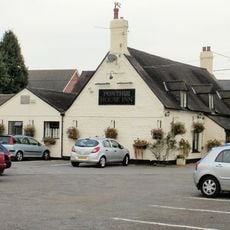
Ponthir House Inn
4.4 km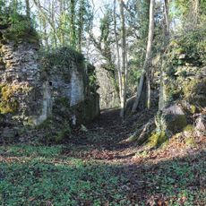
Llangibby Castle
2.7 km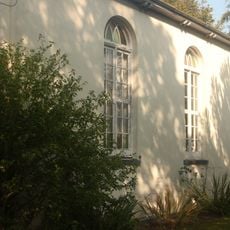
Ponthir Chapel
4.7 km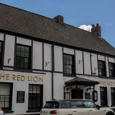
The Red Lion PH
4.9 km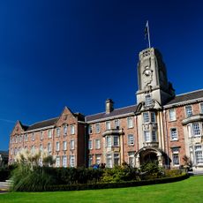
Former Caerleon Teacher Training College Building
4.8 km
Cas Troggy Castle
4.6 km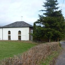
Bethel
1.6 km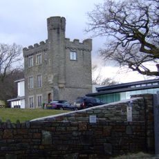
Kemeys Folly
2.9 km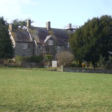
Great House
1.2 km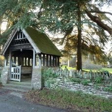
Lychgate to parish church
3.2 km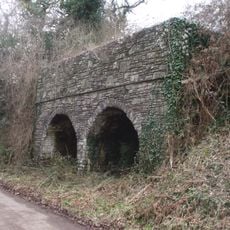
Double Limekiln
2.1 kmReviews
Visited this place? Tap the stars to rate it and share your experience / photos with the community! Try now! You can cancel it anytime.
Discover hidden gems everywhere you go!
From secret cafés to breathtaking viewpoints, skip the crowded tourist spots and find places that match your style. Our app makes it easy with voice search, smart filtering, route optimization, and insider tips from travelers worldwide. Download now for the complete mobile experience.

A unique approach to discovering new places❞
— Le Figaro
All the places worth exploring❞
— France Info
A tailor-made excursion in just a few clicks❞
— 20 Minutes