
Community Centre, including Boundary and Retaining Walls
Community Centre, including Boundary and Retaining Walls, Grade II listed building in Powys. On corner with St John's; to N of Cathedral car park.
Location: Brecon
Elevation above the sea: 154.2 m
GPS coordinates: 51.95218,-3.39291
Latest update: March 27, 2025 05:27

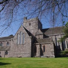
Brecon Cathedral
82 m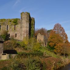
Brecon Castle
403 m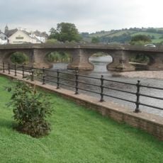
Usk Bridge
513 m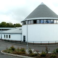
Priory Church in Wales School
118 m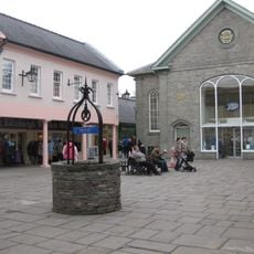
Bethel Chapel
512 m
Brecon Library
479 m
Building, excluding rear block of No.9 in Chapel Street
376 m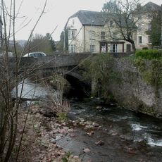
Priory Bridge
239 m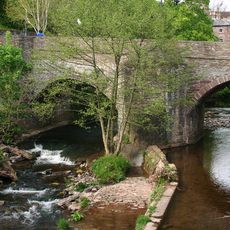
Castle Bridge
348 m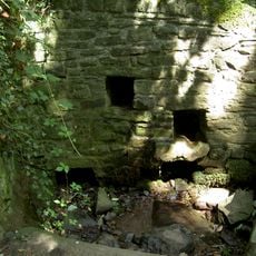
Priory Well
160 m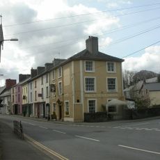
Bull's Head
254 m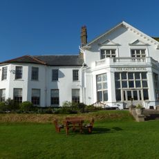
Brecon Castle Hotel
384 m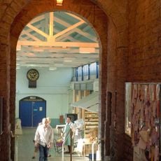
Brecon Market
417 m
National Westminster Bank
430 m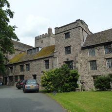
The Canonry And Vestries, Cathedral Of St John The Baptist
139 m
Lloyd's TSB
510 m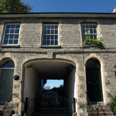
Ely House
285 m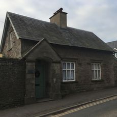
Priory Lodge
155 m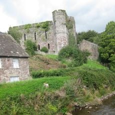
Remains Of The Great Hall Of Brecon Castle
391 m
Braehead, including Gatepiers and Front Wall with railings
426 m
35,High Street Superior, Brecon
502 m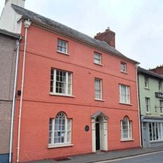
The County House
327 m
93 & 94 The Struet, Brecon
279 m
Nos.35 & 36 The Struet, Brecon
244 m
90,The Struet, Brecon
267 m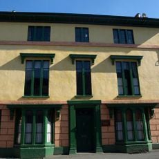
Hamilton House
297 m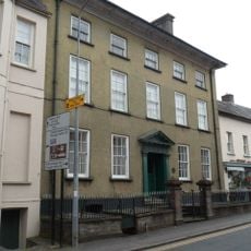
Rutland House, Including Forecourt Wall, Piers & Iron Railings
335 m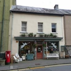
No.8 The Struet, Brecon
341 mReviews
Visited this place? Tap the stars to rate it and share your experience / photos with the community! Try now! You can cancel it anytime.
Discover hidden gems everywhere you go!
From secret cafés to breathtaking viewpoints, skip the crowded tourist spots and find places that match your style. Our app makes it easy with voice search, smart filtering, route optimization, and insider tips from travelers worldwide. Download now for the complete mobile experience.

A unique approach to discovering new places❞
— Le Figaro
All the places worth exploring❞
— France Info
A tailor-made excursion in just a few clicks❞
— 20 Minutes