
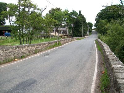
Pont Rhyd-hir, Grade II listed building in Gwynedd. The bridge carries the road running W from Efailnewydd over the Afon Rhyd-hir valley.
Location: Llannor
Elevation above the sea: 5 m
GPS coordinates: 52.89353,-4.46095
Latest update: September 23, 2025 16:46
Penyberth
1.9 km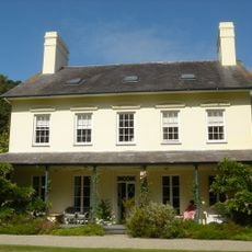
Plas Bodegroes
1 km
Capel Salem
2.8 km
Neuadd Dwyfor
3 km
Pont Bodfel
904 m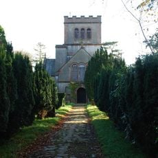
Church of St Buan
2.8 km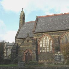
St Peter's Church
2.9 km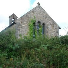
Church of St Cynfil
2.1 km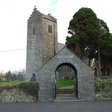
Church Of The Holy Cross
1.7 km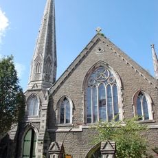
Tabernacl Welsh Baptist Church
3 km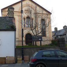
Pen-Lan Welsh Independent Chapel
2.9 km
Pont Pensarn
1.6 km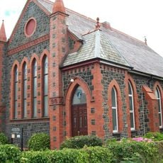
Ala Road English Presbyterian Church
2.8 km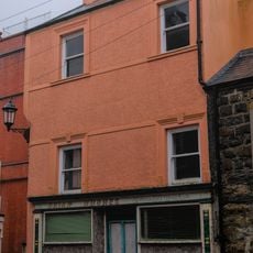
No.4 Market Square (Brian Hughes)
3 km
No.46 High Street (Williams Pwlldefaid)
3 km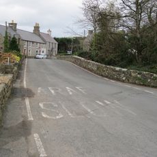
Pont Rhydyclafdy
1.9 km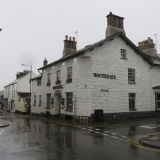
The Whitehall
2.9 km
Llannerch
3 km
Penlan Fawr
3 km
No.9 Gaol Street (R.Gwynedd Evans & Son)
2.9 km
Y Castell
2.9 km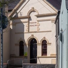
Penlan Chapel Hall
2.9 km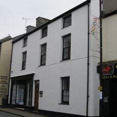
No.26 Penlan Street (Siop Megan & Solicitor's Office)
3 km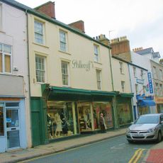
No.63 High Street (Polecoff's)
3 km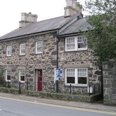
Neigwl
2.7 km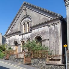
Capel Salem Hall,Llieniau Uchaf
2.8 km
No.6 Penlan Street (Dental Surgery)
3 km
No.48 High Street (Midland Bank)
3 kmReviews
Visited this place? Tap the stars to rate it and share your experience / photos with the community! Try now! You can cancel it anytime.
Discover hidden gems everywhere you go!
From secret cafés to breathtaking viewpoints, skip the crowded tourist spots and find places that match your style. Our app makes it easy with voice search, smart filtering, route optimization, and insider tips from travelers worldwide. Download now for the complete mobile experience.

A unique approach to discovering new places❞
— Le Figaro
All the places worth exploring❞
— France Info
A tailor-made excursion in just a few clicks❞
— 20 Minutes