
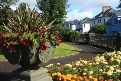
Walls & Surrounding Terrace at The War Memorial, Bryn Road
Walls & Surrounding Terrace at The War Memorial, Bryn Road, Grade II listed building in Ceredigion.
Location: Lampeter
Elevation above the sea: 119.3 m
GPS coordinates: 52.11536,-4.07698
Latest update: March 3, 2025 07:55
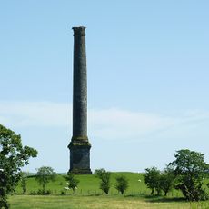
Derry Ormond Tower
3.5 km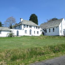
Roman Catholic Church of Our Lady of Mount Carmel and attached Presbytery
425 m
Falcondale House
1.6 km
Lampeter Town Hall
351 m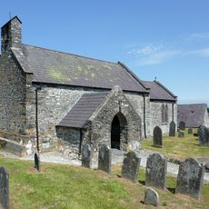
Church of All Saints, Cellan
3.7 km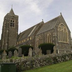
St. Peter's Church
339 m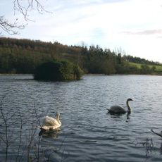
Falcondale Lake
1.8 km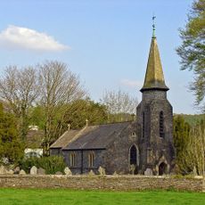
Betws Bledrws church
4 km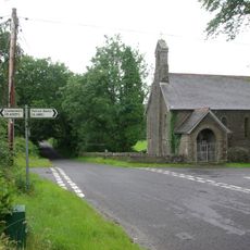
St Mary's Church, Maestir
2.7 km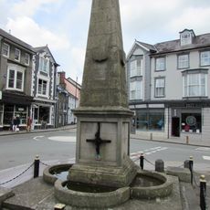
Harford Fountain
291 m
Castell Allt-goch
2.3 km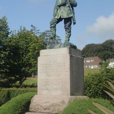
Lampeter War Memorial
12 m
Castell Allt-goch
2.2 km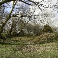
Castell Goetre
3.5 km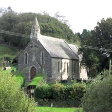
St Sulien's Church
3 km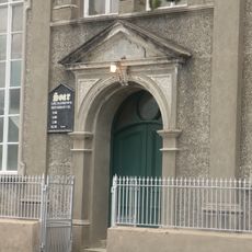
Soar Welsh Independent Chapel
478 m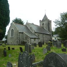
St Lucia and St Gwynin's Church
4.7 km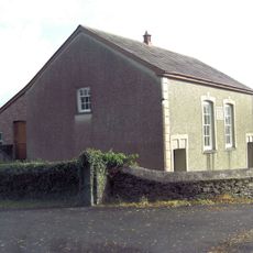
Bethel Welsh Baptist Church
2.5 km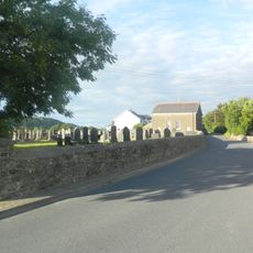
Capel Caeronnen
2.8 km
Pont Abercerdinen
5.1 km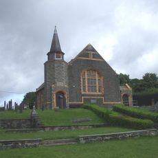
Brondeifi Chapel
570 m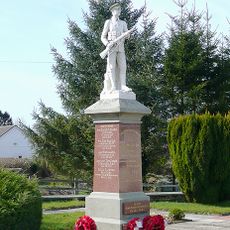
Pencarreg War Memorial
1.9 km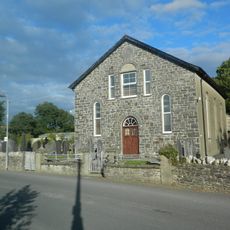
Capel Yr Erw
2.5 km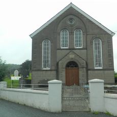
Capel Y Groes
5.2 km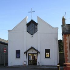
St Thomas Methodist Church
370 m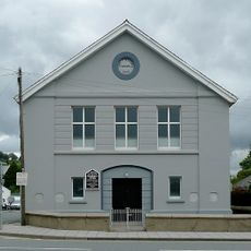
Noddfa Church
635 m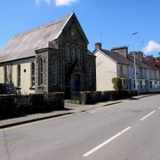
Shiloh Chapel
458 m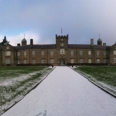
St David's University College (original Buildings)
156 mVisited this place? Tap the stars to rate it and share your experience / photos with the community! Try now! You can cancel it anytime.
Discover hidden gems everywhere you go!
From secret cafés to breathtaking viewpoints, skip the crowded tourist spots and find places that match your style. Our app makes it easy with voice search, smart filtering, route optimization, and insider tips from travelers worldwide. Download now for the complete mobile experience.

A unique approach to discovering new places❞
— Le Figaro
All the places worth exploring❞
— France Info
A tailor-made excursion in just a few clicks❞
— 20 Minutes