
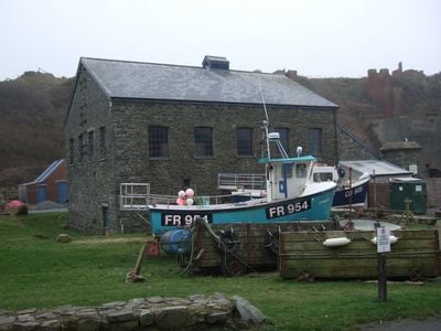
Ty Mawr, Porthgain, Grade II listed building in Llanrhian. Situated in the centre of the village, immediately behind the harbour.
Location: Llanrhian
Elevation above the sea: 5.8 m
GPS coordinates: 51.94814,-5.18153
Latest update: March 4, 2025 20:38
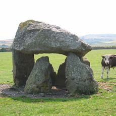
Carreg Samson
3.5 km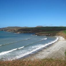
Abermawr
7 km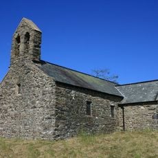
St Teilo's Church
7.2 km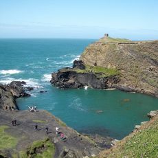
Arfordir Abereiddi
2.3 km
Castell Coch, Penmorfa
6.2 km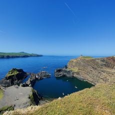
Blue Lagoon
2.2 km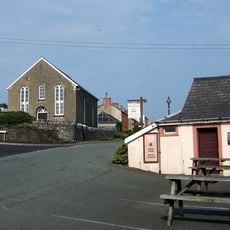
Elim Capel Bach
2.4 km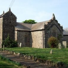
Church Of St Rhian
1.2 km
Church Of St.hywel, llanhowell
5.1 km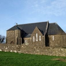
Churchyard wall at Church of the Holy Martyrs
6.5 km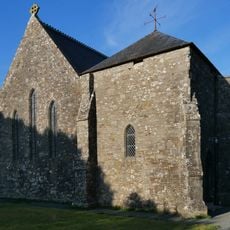
Church of The Holy Martyrs
6.5 km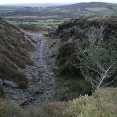
Tyrch quarry
752 m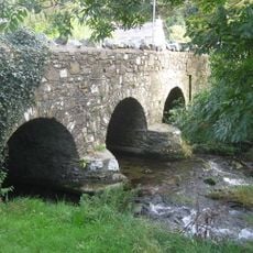
Middle Mill Bridge,Felinganol/Middle Mill
6.7 km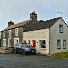
Y Post/The Old Post Office,Caerfarchell
5.9 km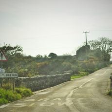
Pont Y Gwrhyd,Rhodiad Y Brenin
7 km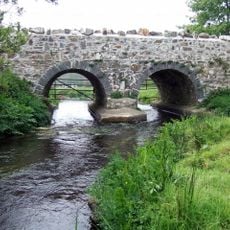
Caerforiog Bridge,Caerforiog
5.7 km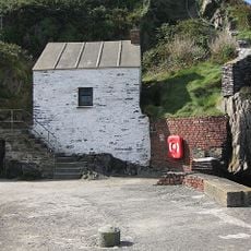
Pilot House,Porthgain
141 m
Porth-Egr
1.4 km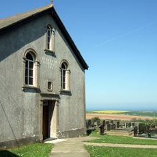
Rehoboth Congregational Chapel
4.4 km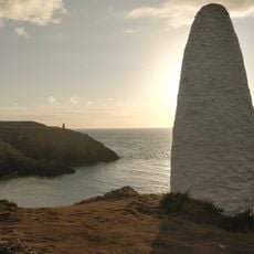
Navigation Beacon On Headland to E.of Entry to Porthgain Harbour
245 m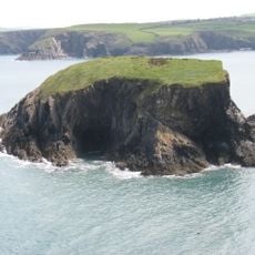
Ynys-fach
767 m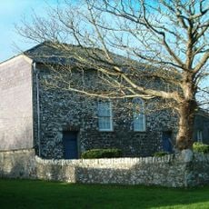
Caerfarchell Chapel
5.9 km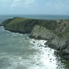
Castell Coch
2.9 km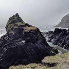
Abereiddy Tower,Abereiddy
2.4 km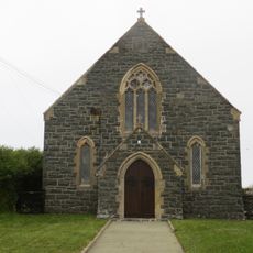
Beria Congregational Chapel
3.3 km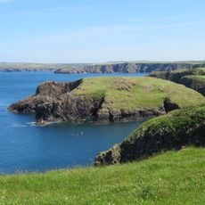
Ynys-y-Castell, Abercastle
3.9 km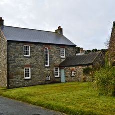
The Manse, including Pigsty attached at north end
5.8 km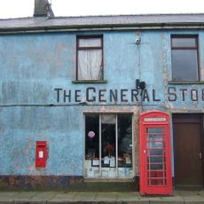
Telephone call-box at the General Stores
6.4 kmReviews
Visited this place? Tap the stars to rate it and share your experience / photos with the community! Try now! You can cancel it anytime.
Discover hidden gems everywhere you go!
From secret cafés to breathtaking viewpoints, skip the crowded tourist spots and find places that match your style. Our app makes it easy with voice search, smart filtering, route optimization, and insider tips from travelers worldwide. Download now for the complete mobile experience.

A unique approach to discovering new places❞
— Le Figaro
All the places worth exploring❞
— France Info
A tailor-made excursion in just a few clicks❞
— 20 Minutes