
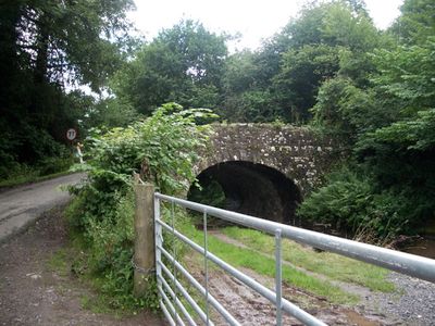
Castle Upper Bridge, Grade II listed building in Monmouthshire. Carrying the lane on a sharp bend uphill from the B4269 and towards Castell Prydydd and Coed-y-Prior. Tow-path to the east.
Location: Llanfoist Fawr
Elevation above the sea: 114.4 m
GPS coordinates: 51.80439,-3.03059
Latest update: September 23, 2025 16:46
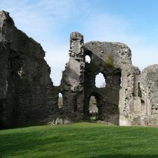
Abergavenny Castle
1.9 km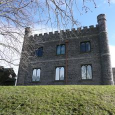
Abergavenny Museum
1.9 km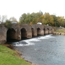
Abergavenny Bridge
1.7 km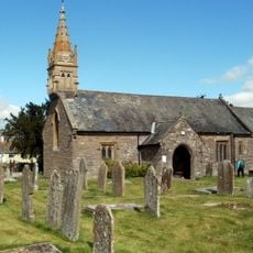
Parish Church of St Helen
1.9 km
Abergavenny Museum
1.9 km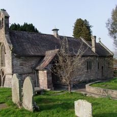
Parish Church of St Faith
1 km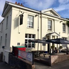
Great Western Hotel
2 km
Retaining Wall between Castle Street Car-park and the Garden of Old Court
2 km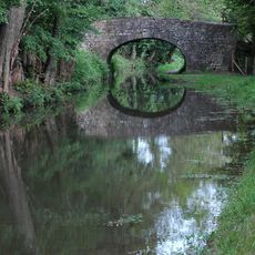
Heol Gerrig Bridge
1.4 km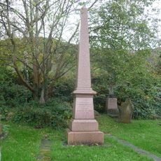
Memorial to Crawshay Bailey to SW of Parish Church of St Faith
1 km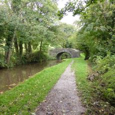
Castle Lower Bridge
309 m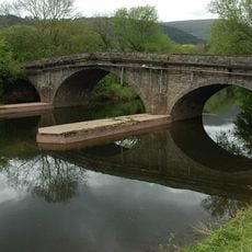
Llanellen Bridge
2 km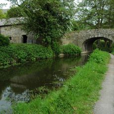
Richards Farm Bridge
827 m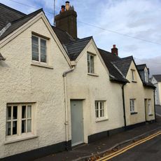
29,31 & 33 Castle Street, Abergavenny
2 km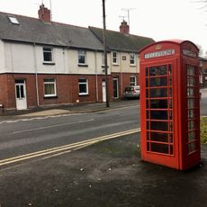
Telephone Call-box close to entrance to Linda Vista Gardens
2 km
Ingleside, including garden walls, gatepiers and railings
1.9 km
Lodge of Abergavenny Castle
2 km
The Westgate
1.9 km
30, Monmouth Road, Abergavenny
1.8 km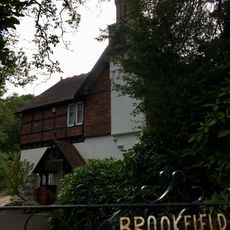
Brookfield
1.9 km
43, Monmouth Road, Abergavenny
1.9 km
Pegasus Court, 3
2 km
Bella Vista, including garden walls, gatepiers and railings
1.9 km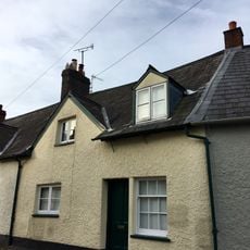
31,Castle Street, Abergavenny
2 km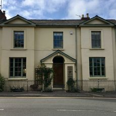
34, Monmouth Road, Abergavenny
1.8 km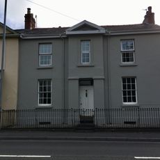
36, Monmouth Road, Abergavenny
1.8 km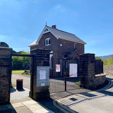
Wall, Gatepiers and Gates beside Lodge at entrance to Abergavenny Castle
2 km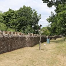
Outer Wall of Abergavenny Castle
1.9 kmReviews
Visited this place? Tap the stars to rate it and share your experience / photos with the community! Try now! You can cancel it anytime.
Discover hidden gems everywhere you go!
From secret cafés to breathtaking viewpoints, skip the crowded tourist spots and find places that match your style. Our app makes it easy with voice search, smart filtering, route optimization, and insider tips from travelers worldwide. Download now for the complete mobile experience.

A unique approach to discovering new places❞
— Le Figaro
All the places worth exploring❞
— France Info
A tailor-made excursion in just a few clicks❞
— 20 Minutes