
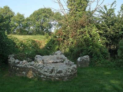
St David's Well aka Ffynnon Dewi, Grade II listed building in Porthcawl. By the side of the lane leading north from Nottage village just S of the junction with Moor Lane, both country lanes pre-dating C19 development and now little used.
Location: Porthcawl
Elevation above the sea: 14 m
GPS coordinates: 51.49400,-3.70065
Latest update: May 4, 2025 20:38
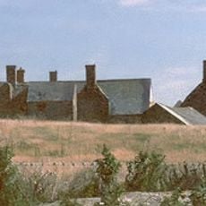
Sker House
2.7 km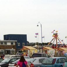
Coney Beach Pleasure Park
1.6 km
Royal Porthcawl Golf Club
1.8 km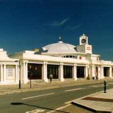
Grand Pavilion, Porthcawl
2 km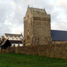
St John the Baptist Church
2 km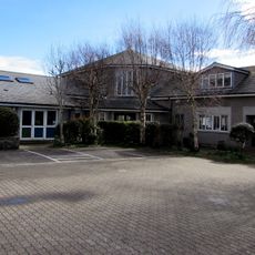
St David's Church
479 m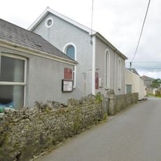
Nottage General Baptist & Unitarian Church
440 m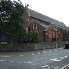
Church of All Saints
1.7 km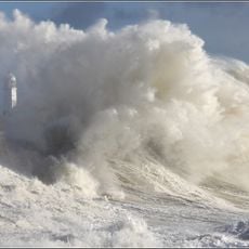
Porthcawl Lighthouse
2.3 km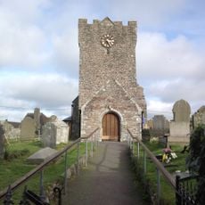
St Mary Magdalene's Church
3.6 km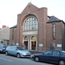
Tabernacl Welsh Independent Chapel
1.4 km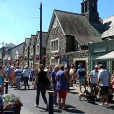
Porthcawl Museum
1.9 km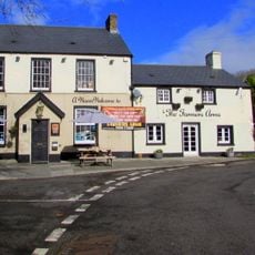
The Farmers' Arms
466 m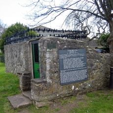
St John's Well aka Sandford's or de Sanford's Well
2.1 km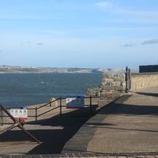
The Breakwater
2.3 km
Porthcawl Library
1.7 km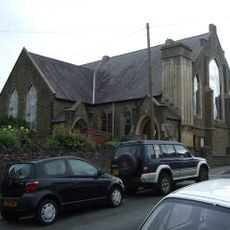
Gilgal English Baptist Chapel
1.6 km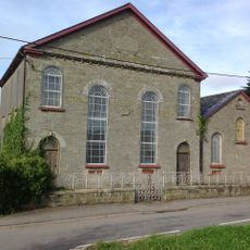
Pyle Calvinistic Methodist Chapel, Capel Y Pîl, And Schoolroom, With Forecourt Railings.
3 km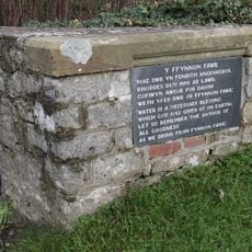
Ffynnon Fawr
546 m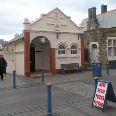
Public Conveniences
1.9 km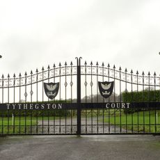
Gate piers to Tythegston Court
3.6 km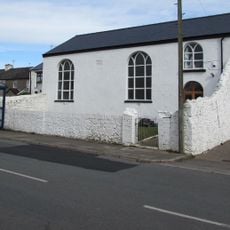
Hope Free Congregational Chapel
1.6 km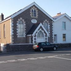
Bethel English Calvinistic Methodist Chapel
1 km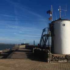
Look-out Tower
2.2 km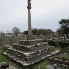
Churchyard Cross
2 km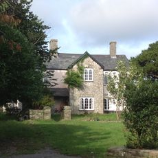
The Hall Farm
3 km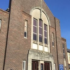
Noddfa Welsh Baptist Chapel Philadelphia Road
1.5 km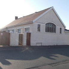
Arlington Road Calvinistic Methodist Chapel
1.2 kmReviews
Visited this place? Tap the stars to rate it and share your experience / photos with the community! Try now! You can cancel it anytime.
Discover hidden gems everywhere you go!
From secret cafés to breathtaking viewpoints, skip the crowded tourist spots and find places that match your style. Our app makes it easy with voice search, smart filtering, route optimization, and insider tips from travelers worldwide. Download now for the complete mobile experience.

A unique approach to discovering new places❞
— Le Figaro
All the places worth exploring❞
— France Info
A tailor-made excursion in just a few clicks❞
— 20 Minutes