
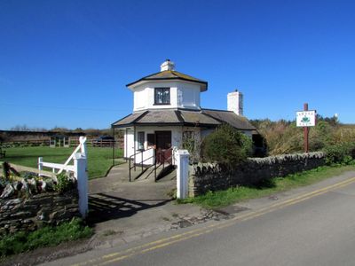
Stanley Tollhouse, Grade II listed building in Anglesey. Set back from the N side of the A5(T), directly over the northern end of the Stanley Embankment and within Penrhos Coastal Park.
Location: Holyhead
Elevation above the sea: 4.1 m
GPS coordinates: 53.29247,-4.58872
Latest update: April 2, 2025 03:22
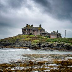
Craig y Mor
3.1 km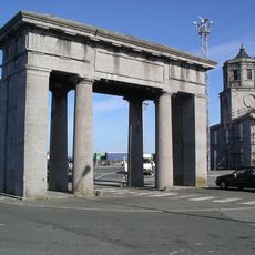
George IV Arch, Salt Island
3.4 km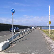
Stanley Embankment
503 m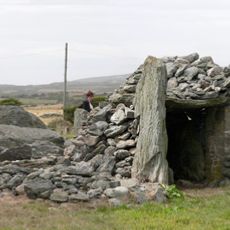
Trefignath
1.7 km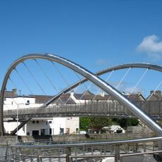
The Celtic Gateway
3.4 km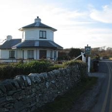
Penrhos Country Park
811 m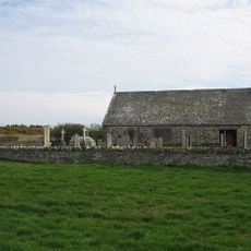
St Mary's Church, Llanfair-yn-Neubwll
3.4 km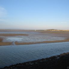
Beddmanarch-Cymyran SSSI
1 km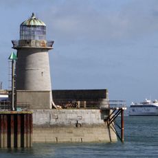
Holyhead Mail Pier Lighthouse
3.2 km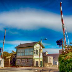
Valley Station Signal Box, Anglesey
2.1 km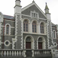
Disgwylfa Chapel
2.9 km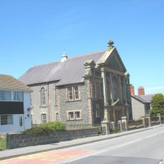
Ebeneser Chapel
2.7 km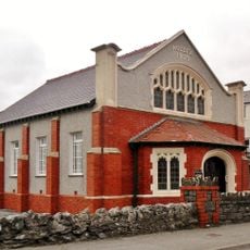
Capel Noddfa
2.4 km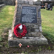
Valley War Memorial
2.5 km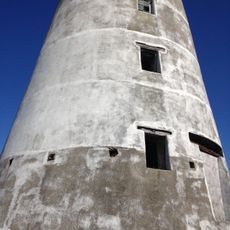
Melin yr Ogof
2.8 km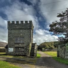
Baillifs Tower and with boundary wall, gates and attached outbuildings at Penrhos Home Farm
1.2 km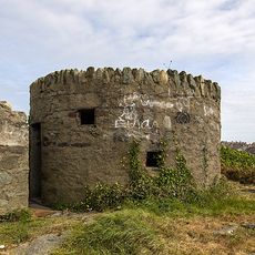
Pillbox Near Skinner's Monument, Turkey Shore Road (Se Side)
3 km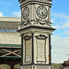
Clock Turret In Station Approach, London Road
3.3 km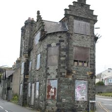
Plas Alltran, Turkey Shore Road (SE side)
3.2 km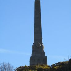
Skinner Monument
3.1 km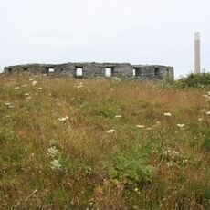
The Battery
1.6 km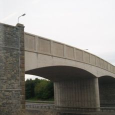
Pont Cytir, Cytir Road
2.6 km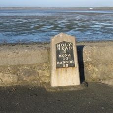
Milestone
104 m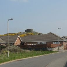
Pillbox adjacent to Trearddur Bay Hotel
2.6 km
Bodlasan Fawr
3.3 km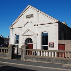
Noddfa Welsh Independent Chapel
2.9 km
Tŷ-Mawr Standing Stone
2.2 km
Tesco Extra
2.3 kmReviews
Visited this place? Tap the stars to rate it and share your experience / photos with the community! Try now! You can cancel it anytime.
Discover hidden gems everywhere you go!
From secret cafés to breathtaking viewpoints, skip the crowded tourist spots and find places that match your style. Our app makes it easy with voice search, smart filtering, route optimization, and insider tips from travelers worldwide. Download now for the complete mobile experience.

A unique approach to discovering new places❞
— Le Figaro
All the places worth exploring❞
— France Info
A tailor-made excursion in just a few clicks❞
— 20 Minutes