
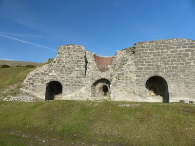
Lime Kilns at Bryn Mawr, Grade II listed building in Brynford. Located off a track running N from the lane which links Pentre Halkyn and Babell. On the E side of the track and in a raised position, opposite Waen-Brodlas Farm.
Location: Brynford
Elevation above the sea: 262.9 m
GPS coordinates: 53.24931,-3.22151
Latest update: November 3, 2025 18:01
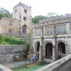
St Winefride's Well
3.1 km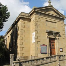
St Winefride's Church, Holywell
2.9 km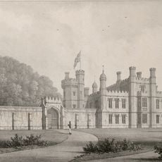
Halkyn Castle
3.3 km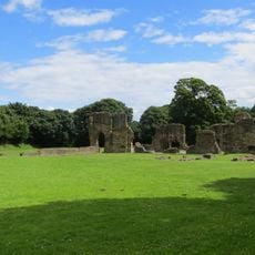
Greenfield Valley Heritage Park
3.8 km
Holywell Workhouse Chapel
1.9 km
Church of St Mary the Virgin, Halkyn
3.1 km
St Michael's Church, Brynford
1.5 km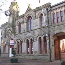
Former Town Hall
2.7 km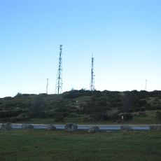
Mynydd Helygain
1.5 km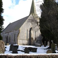
Church Of St Michael And All Angels
4 km
Parish Church of St James
3.1 km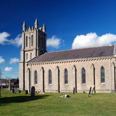
Church of St Mary
3.7 km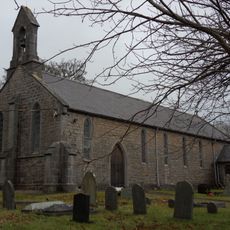
Christ Church
2.3 km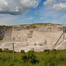
Pant-y-pwll-dwr quarry
1.3 km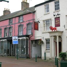
Red Lion
2.7 km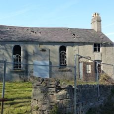
Ebenezer Chapel
1.1 km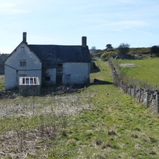
Henblas
726 m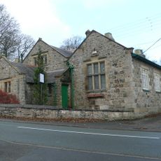
Old Church School
3 km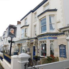
Queen Victoria PH
2.6 km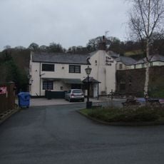
Royal Oak P.H.Greenfield Road,Greenfield
3.4 km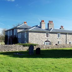
The Old Rectory
3.7 km
Bethel Welsh Baptist Church
2.7 km
Archway to the Way of the Cross at Pantasaph Friary
3.9 km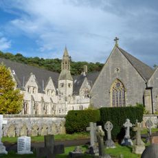
Franciscan Friary
3.8 km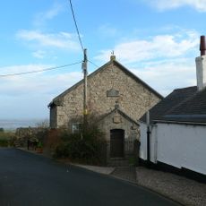
Salem Welsh Methodist Chapel
1.8 km
The Roman Catholic Church Of St David
3.8 km
No.12 (Old Bank House) Coleshill Street
2.6 km
No.9 Halkyn Street
2.5 kmReviews
Visited this place? Tap the stars to rate it and share your experience / photos with the community! Try now! You can cancel it anytime.
Discover hidden gems everywhere you go!
From secret cafés to breathtaking viewpoints, skip the crowded tourist spots and find places that match your style. Our app makes it easy with voice search, smart filtering, route optimization, and insider tips from travelers worldwide. Download now for the complete mobile experience.

A unique approach to discovering new places❞
— Le Figaro
All the places worth exploring❞
— France Info
A tailor-made excursion in just a few clicks❞
— 20 Minutes