
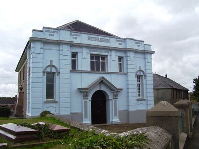
Capel Bethlehem, grade II listed building in St Clears. Within railed enclosure, set back from the road, in the NE corner of a cemetery
Location: St Clears
Elevation above the sea: 53 m
GPS coordinates: 51.82104,-4.51454
Latest update: March 5, 2025 06:36
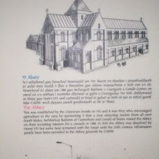
Whitland Abbey
6.2 km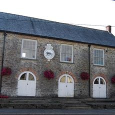
The Town Hall
1.5 km
St Odoceus' Church, Llandawke
5.6 km
Brandy Hill, Wales
6.3 km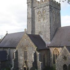
St Martin's Church, Laugharne
6.2 km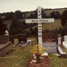
Grave of Dylan Thomas
6.2 km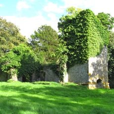
Ruins of former St Michael's Parish Church
4.8 km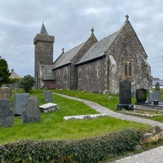
Church of St Sadwrnen
6.5 km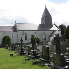
Church of St Michael
3.2 km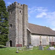
Parish Church of St Mary Magdalene
1.6 km
Castell Cogan
6.5 km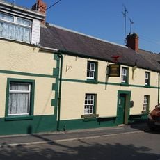
The Butcher's Arms Inn
1.5 km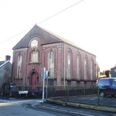
Capel Mair
1.4 km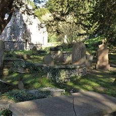
Churchyard at St.Martin's Parish Church, Church Street
6.2 km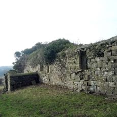
Church of St Teilo
5.4 km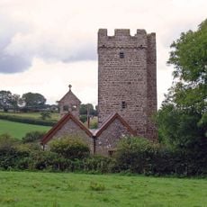
Cyffig Church
6.5 km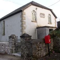
Bwlchygwynt Baptist Church
5.9 km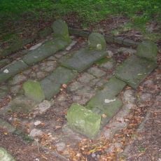
Pilgrims Graves By Ruins Of St Michael's Church
4.8 km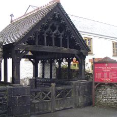
Lychgate to the Parish Church, including wall to N
1.5 km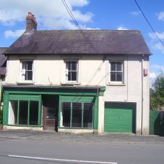
Cross House Stores
1.5 km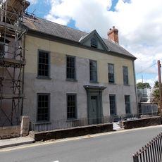
Great House, King Street
6.5 km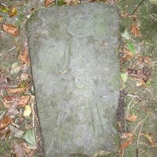
Pilgrim's Graves S Of Ruins Of St Michaels Church
4.8 km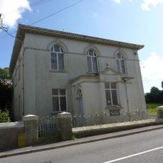
Seion Welsh Baptist Church
920 m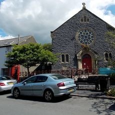
New Congregational Chapel
6.6 km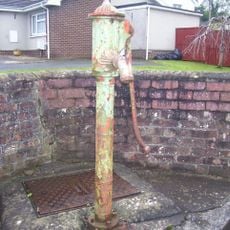
Water Pump
1.7 km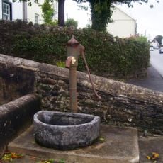
Water Pump
1.5 km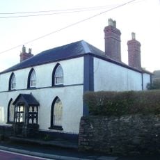
Gothic Villa
1.3 km
Vicarage,King Street
6.5 kmReviews
Visited this place? Tap the stars to rate it and share your experience / photos with the community! Try now! You can cancel it anytime.
Discover hidden gems everywhere you go!
From secret cafés to breathtaking viewpoints, skip the crowded tourist spots and find places that match your style. Our app makes it easy with voice search, smart filtering, route optimization, and insider tips from travelers worldwide. Download now for the complete mobile experience.

A unique approach to discovering new places❞
— Le Figaro
All the places worth exploring❞
— France Info
A tailor-made excursion in just a few clicks❞
— 20 Minutes