
Pencreigiau, Grade II listed building in Ceredigion. In woodland on the Hafod estate just NE of the monument to the Duke of Bedford and some 550m SW of Eglwys Newydd church.
Location: Devil's Bridge
Elevation above the sea: 209.9 m
GPS coordinates: 52.34295,-3.81437
Latest update: April 19, 2025 17:59
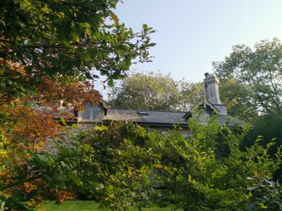
Hafod Uchtryd
545 m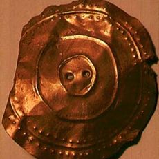
Banc Ty'nddôl sun-disc
3.3 km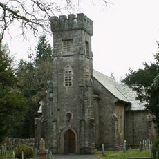
Eglwys Newydd Church
570 m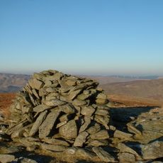
Bryn Dafydd
3.1 km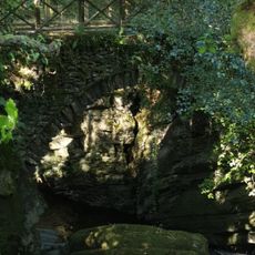
Pont Dologau
594 m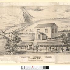
English Chapel
3.2 km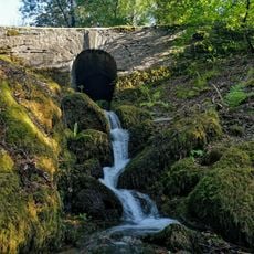
Bridge over stream to W of Bedford Monument
218 m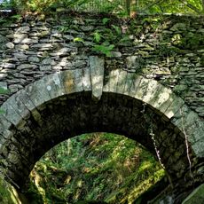
Bridge over the Nant Peiran
463 m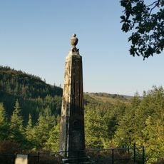
Monument to the Duke of Bedford, Hafod
162 m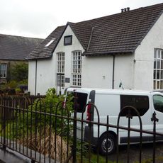
Cwmystwyth Chapel
2.3 km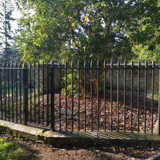
Enclosing rails and walls to Thomas Johnes grave in Eglwys Newydd churchyard
522 m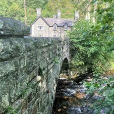
Pont Rhydygroes
2.4 km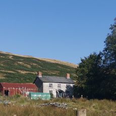
Pantymawn
669 m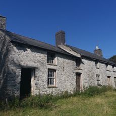
Cae'r meirch
1 km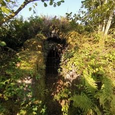
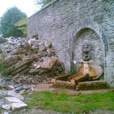
Ice House at Hafod
595 m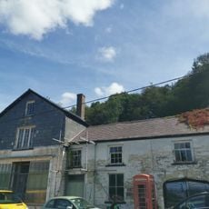
The Old Post Office
2.7 km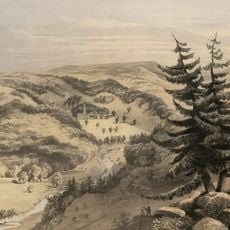
Hafod Uchtryd
586 m
Ystwyth Villa
2.4 km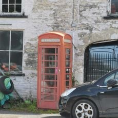
Telephone Call-box outside The Old Post Office
2.7 km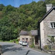
Outbuilding at Ystwyth Villa
2.4 km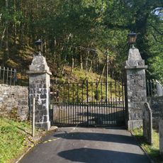
Entrance gates and piers to Eglwys Newydd church
630 m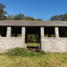
Hay-barn at Hafod
550 m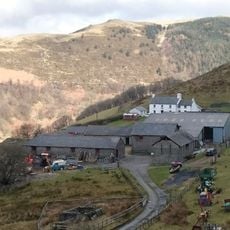
Bodcoll
3.3 km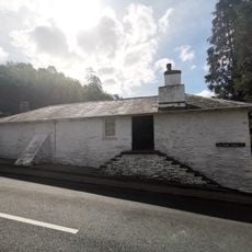
Gwynfryn and Isfryn
2.8 km
Bethel Calvinistic Methodist Sunday School
951 m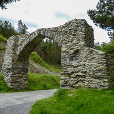
The Jubilee Arch
2.4 km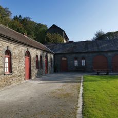
Stable Range at Hafod and attached courtyard walls
561 m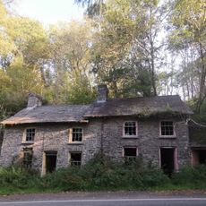
Nos 1 and 2 Smiths Cottages
2.1 kmReviews
Visited this place? Tap the stars to rate it and share your experience / photos with the community! Try now! You can cancel it anytime.
Discover hidden gems everywhere you go!
From secret cafés to breathtaking viewpoints, skip the crowded tourist spots and find places that match your style. Our app makes it easy with voice search, smart filtering, route optimization, and insider tips from travelers worldwide. Download now for the complete mobile experience.

A unique approach to discovering new places❞
— Le Figaro
All the places worth exploring❞
— France Info
A tailor-made excursion in just a few clicks❞
— 20 Minutes