
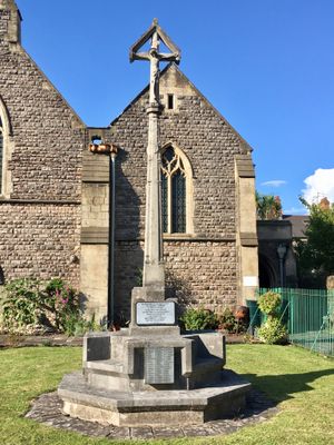
War Memorial Cross at St SaviourÆs Church, Grade II listed building in City and County of Cardiff. Within railed forecourt of Church of St Saviour, Splott.
Location: Splott
Elevation above the sea: 10 m
GPS coordinates: 51.48353,-3.15154
Latest update: March 3, 2025 13:09

Cardiff Royal Infirmary
689 m
St German's Church
557 m
St Alban-on-the-Moors
344 m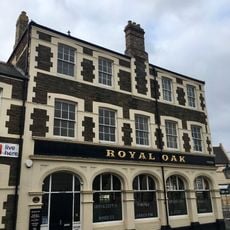
Royal Oak
816 m
St James's Church
846 m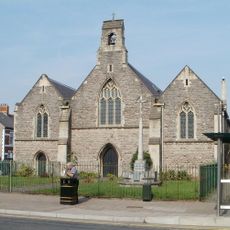
St Saviour's Church
29 m
Roath Library
696 m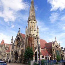
Trinity Wesleyan Methodistchurch
696 m
Clifton Street English Calvinistic Methodist Church
684 m
Clergy House of the Church of St German of Auxerre.
540 m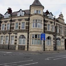
Moorlands Hotel
536 m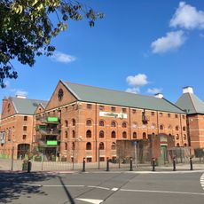
The Maltings
446 m
20, Moira Terrace, Adamsdown, Cardiff
839 m
St German's Court
438 m
Metal Street Mission Church
454 m
64, Newport Road, Adamsdown, Cardiff
712 m
Elms Centre
681 m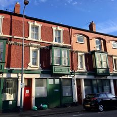
13/14, Moira Terrace, Adamsdown, Cardiff
864 m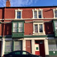
15/16, Moira Terrace, Adamsdown, Cardiff
855 m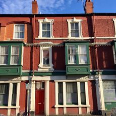
17, Moira Terrace, Adamsdown, Cardiff
849 m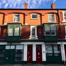
10, Moira Terrace, Adamsdown, Cardiff
877 m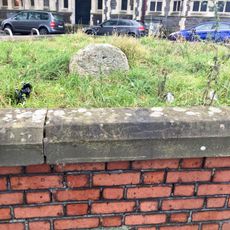
Milestone at Roath Library
708 m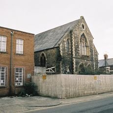
Longcross Street English Baptist Chapel
689 m
11, Moira Terrace, Adamsdown, Cardiff
874 m
18, Moira Terrace, Adamsdown, Cardiff
844 m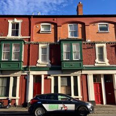
21, Moira Terrace, Adamsdown, Cardiff
836 m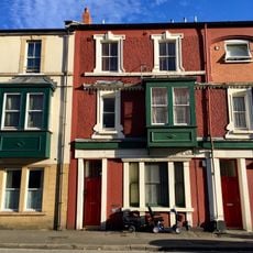
22, Moira Terrace, Adamsdown, Cardiff
830 m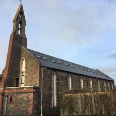
Mission Church
831 mVisited this place? Tap the stars to rate it and share your experience / photos with the community! Try now! You can cancel it anytime.
Discover hidden gems everywhere you go!
From secret cafés to breathtaking viewpoints, skip the crowded tourist spots and find places that match your style. Our app makes it easy with voice search, smart filtering, route optimization, and insider tips from travelers worldwide. Download now for the complete mobile experience.

A unique approach to discovering new places❞
— Le Figaro
All the places worth exploring❞
— France Info
A tailor-made excursion in just a few clicks❞
— 20 Minutes