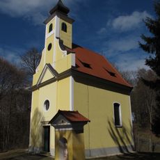
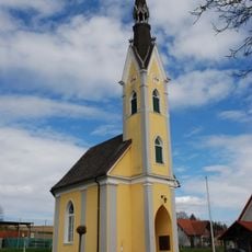
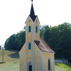
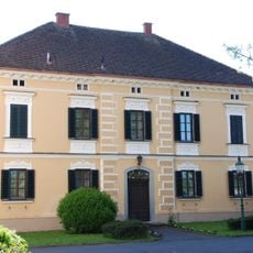
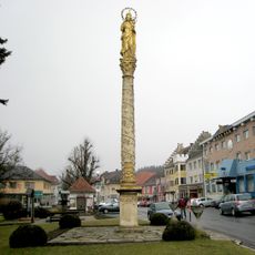
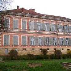
Steirisches Vulkanland, Tourist destination in southeastern Styria, Austria.
The Steirisches Vulkanland is a region in southeastern Styria shaped by volcanic eruptions millions of years ago, creating distinctive hills and valleys. Extinct craters and gently sloping terrain form a varied landscape that stands out from the surrounding plains.
Volcanic eruptions between 15 million and 2 million years ago shaped this region, with Gleichenberg Kögel mountain marking the site of the final activity. This geological history left behind the volcanic soils and landforms visible across the area today.
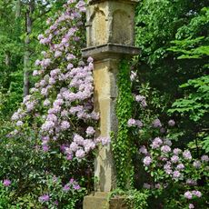
Residents grow wine, fruit, and regional specialties on the fertile volcanic soil, traditions that shape how the landscape looks and functions today. The agricultural practices here reflect generations of knowledge passed down through families working the same land.
Visitors can follow the Vulkanland Route 66 to explore geological sites and local production facilities spread across the region. Plan time for travel between locations, as the area is best explored by car over several hours or days.
Several former volcanic craters have become small lakes and wetlands that now host unusual plants and animals, forming unexpected green spaces in the landscape. These water-filled areas along hiking trails reveal a different side of the volcanic past than the hillside vineyards.
The community of curious travelers
AroundUs brings together thousands of curated places, local tips, and hidden gems, enriched daily by 60,000 contributors worldwide.