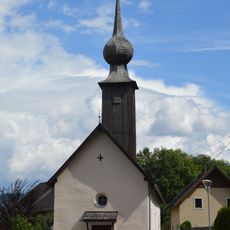
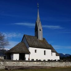
Goldeck-Panoramastraße, Mountain road at Zlan-Stockenboi, Austria
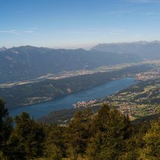
The Goldeck Panoramic Road is a mountain route winding through the Zlan-Stockenboi region, climbing to about 1,900 meters in elevation. The drive stretches roughly 14.5 kilometers and includes numerous hairpin turns that ascend through varied terrain with shifting views at each level.
The road was built to connect valley communities with Alpine areas, changing how people and goods moved through this region. It made remote mountain settlements accessible and encouraged trade and contact between lower and higher elevations.
Alpine huts scattered along the route offer simple shelter and serve local Carinthian food made with regional products. These places show how mountain communities have adapted to seasonal visitors and kept their traditional ways of cooking alive.
The road is only open during warmer months from May to October due to snow and ice at higher elevations. Visitors should expect steep hairpin turns that demand careful driving and choose days with good weather for the best experience.
Along the drive, visitors look out over several Alpine ranges including the Millstatt, Nockberge, and Gailtal Alps from changing vantage points. Each hairpin turn reveals fresh views of these mountain chains as elevation increases.
The community of curious travelers
AroundUs brings together thousands of curated places, local tips, and hidden gems, enriched daily by 60,000 contributors worldwide.