
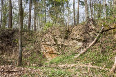
Schilfsandsteinbruch nordöstlich von Burg Königsberg, Former quarry, geotop in Königsberg in Bayern, district Haßberge
Location: Königsberg in Bayern
Elevation above the sea: 290 m
GPS coordinates: 50.08232,10.57785
Latest update: April 19, 2025 21:23
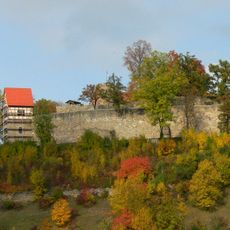
Burg
370 m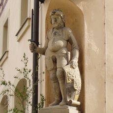
Königsberger Roland
571 m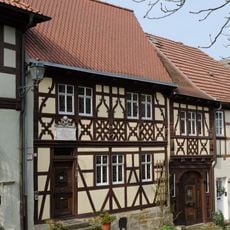
Wohnhaus
545 m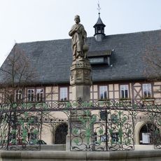
Brunnen
554 m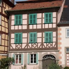
Wohnhaus
523 m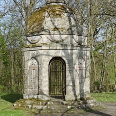
Kriegerdenkmal
311 m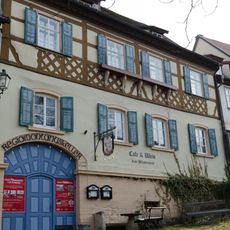
Wohnhaus
507 m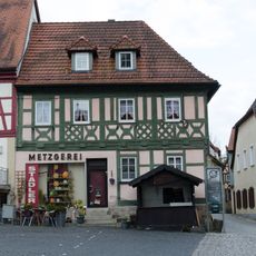
Wohn- und Geschäftshaus
556 m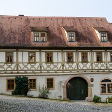
Wohnhaus
541 m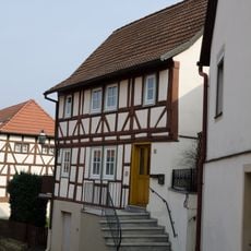
Wohnhaus
468 m
Wohnhaus
550 m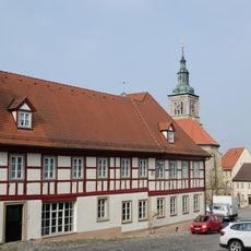
Marktplatz 6
543 m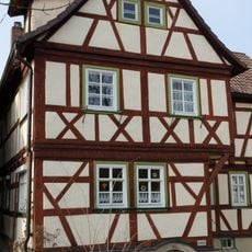
Wohnhaus
484 m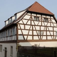
Wohnhaus
464 m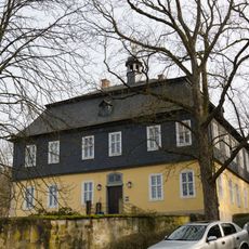
Amtsgericht
415 m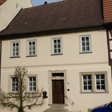
Wohnhaus
559 m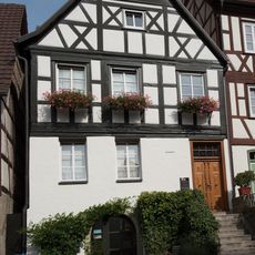
Wohnhaus
516 m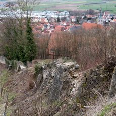
Stadtmauer
519 m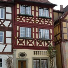
Wohnhaus
513 m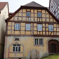
Wohnhaus
512 m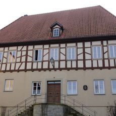
Pfarrhaus
521 m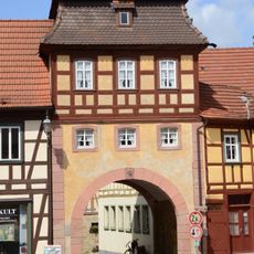
Toranlage
542 m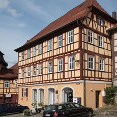
Wohnhaus
527 m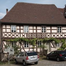
Wohnhaus
518 m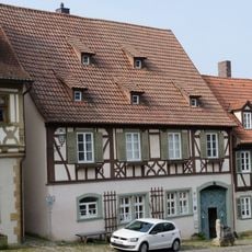
Wohnhaus
541 m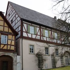
Wohnhaus
509 m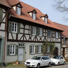
Wohnhaus
546 m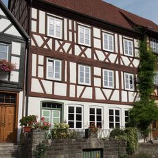
Wohnhaus
514 mReviews
Visited this place? Tap the stars to rate it and share your experience / photos with the community! Try now! You can cancel it anytime.
Discover hidden gems everywhere you go!
From secret cafés to breathtaking viewpoints, skip the crowded tourist spots and find places that match your style. Our app makes it easy with voice search, smart filtering, route optimization, and insider tips from travelers worldwide. Download now for the complete mobile experience.

A unique approach to discovering new places❞
— Le Figaro
All the places worth exploring❞
— France Info
A tailor-made excursion in just a few clicks❞
— 20 Minutes