Holymoorside and Walton, civil parish in North East Derbyshire, Derbyshire, England
Location: North East Derbyshire
Shares border with: Brampton, Chesterfield, Wingerworth, Ashover, Beeley
GPS coordinates: 53.22400,-1.49100
Latest update: March 5, 2025 20:25

Parish Church of St Peter and St Paul
2.2 km
St Thomas' Church
2.3 km
Curved Reclining Form (Rosewall)
4 km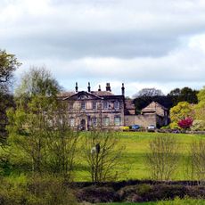
Stubbing Court
3.1 km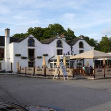
The Manor House
2.7 km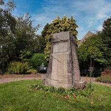
Holymoorside and Walton War Memorial
441 m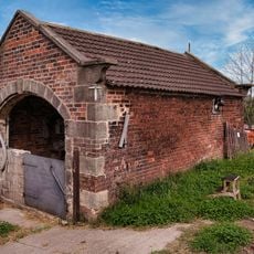
Cart Shed To The North East Of Broomhall Farmhouse
1.4 km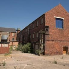
Mill Buildings At Walton Works
2.9 km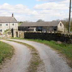
High Ashes Farmhouse
3.8 km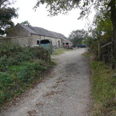
Barn At Frith Hall Farm
1.5 km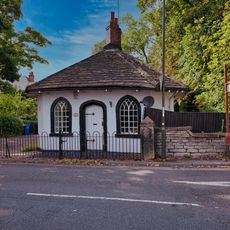
1, Somersall Lane
1.5 km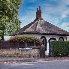
2, Somersall Lane
1.6 km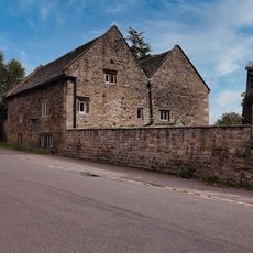
Hipper Hall
223 m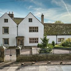
Brampton Manor, Attached Boundary Walls, Gatepiers And Railings
2.1 km
Chesterfield Courthouse
4.1 km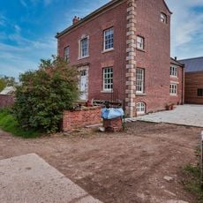
Broomhall Farmhouse
1.4 km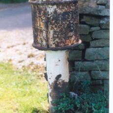
Milepost To West Of Junction With Chandler Hill Lane
940 m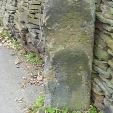
Milestone, Old Brampton, just up from St Peter’s and Paul’s Church
2.2 km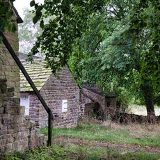
Outbuilding To The South East Of Hipper Hall
257 m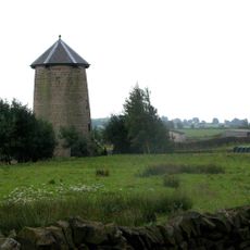
Spann Carr Windmill Tower
3.7 km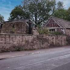
Outbuildings to south west of Hipper Hall
254 m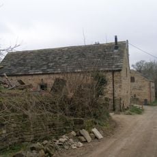
Cruck barn south east of Old Barn Farmhouse
353 m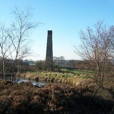
Stone Edge smelt mill at Moss Farm
2.9 km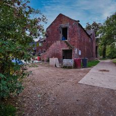
Outbuilding To The West Of Broomhall Farmhouse
1.4 km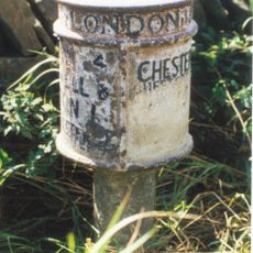
Milepost, SE of Wadshelf near Brampton Boundary
2.2 km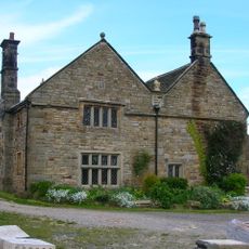
Manor House Farmhouse
4.5 km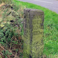
Guidestone, Darley Road, E of Gladwin's Mark at jct with Alicehead Road
3.9 km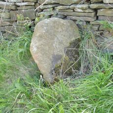
Milestone, opp. Royal Oak PH, Wigley
2.8 kmVisited this place? Tap the stars to rate it and share your experience / photos with the community! Try now! You can cancel it anytime.
Discover hidden gems everywhere you go!
From secret cafés to breathtaking viewpoints, skip the crowded tourist spots and find places that match your style. Our app makes it easy with voice search, smart filtering, route optimization, and insider tips from travelers worldwide. Download now for the complete mobile experience.

A unique approach to discovering new places❞
— Le Figaro
All the places worth exploring❞
— France Info
A tailor-made excursion in just a few clicks❞
— 20 Minutes