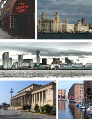
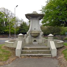
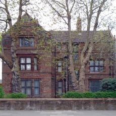
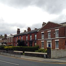
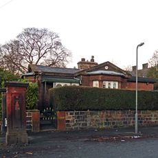
Liverpool, local government district in Merseyside, England, UK
Location: Merseyside
Inception: 1835
Capital city: Liverpool
Shares border with: Ellesmere Port, Hale
GPS coordinates: 53.41667,-2.91667
Latest update: May 27, 2025 20:42
Church of Saint John the Baptist
1.3 km
St Oswald's Church, Old Swan, Liverpool
547 m
Church of St Paul, Liverpool
280 m
Tue Brook House
1.3 km
St James' Church, West Derby, Liverpool
1.2 km
Gwalia, Liverpool
808 m
Lister Drive Library
742 m
Church of St Anne, Stanley, Liverpool
495 m
St Vincent's Hospice
659 m
Building To South Of Newsham Park Hospital
1.2 km
Convent of Mercy
556 m
Nelson Monument
1.1 km
Montini Youth Centre
562 m
Carlton Cinema
1.3 km
Old Swan Library
599 m
Basil Grange
914 m
Barclays Bank
378 m
Roman Catholic Church of St Cecilia, including boundary wall, railings, gate piers and gates
1.1 km
Mortuary House
1.2 km
Sandheys
1.3 km
75, Derby Lane
321 m
Bowden Fountain
1.2 km
Vicarage of St John Baptist
1.2 km
340-352, West Derby Road
1.2 km
Basil Grange Lodge
871 m
Presbytery of St Oswald's
573 m
Wall And Gatepiers To West Derby Library
784 m
Alder Hey Children's Hospital building
1.3 kmReviews
Visited this place? Tap the stars to rate it and share your experience / photos with the community! Try now! You can cancel it anytime.
Discover hidden gems everywhere you go!
From secret cafés to breathtaking viewpoints, skip the crowded tourist spots and find places that match your style. Our app makes it easy with voice search, smart filtering, route optimization, and insider tips from travelers worldwide. Download now for the complete mobile experience.
A unique approach to discovering new places❞
— Le Figaro
All the places worth exploring❞
— France Info
A tailor-made excursion in just a few clicks❞
— 20 Minutes