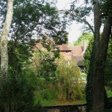
The Gote, architectural structure in Streat, Lewes, East Sussex, UK
Plumpton Place
1.3 km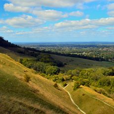
Clayton to Offham Escarpment
908 m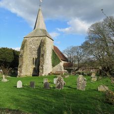
The Parish Church of St Michael and All Angels, Plumpton
895 m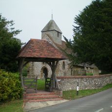
The Parish Church of St Martin
900 m
Oval barrow 775m south of Plumpton Place on Plumpton Plain
1.5 km
Saucer barrow 170m SW of Ditchling Cross, Plumpton Plain
1.4 km
Middleton Manor
598 m
Three bowl barrows 820m south east of Westmeston Farm, forming part of Western Brow round barrow cemetery
611 m
Bowl barrow on Streat Hill 430m NNW of Streathill Farm, forming part of Western Brow round barrow cemetery
681 m
Faulkner's Bottom entrenchment
1.1 km
Bowl barrow 780m south east of Westmeston Farm, forming part of Western Brow round barrow cemetery
724 m
Two bowl barrows north-east of Streathill Farm
968 m
Bowl barrow 200m east of Plumpton Bostall (top end)
1.4 km
Part of Western Brow round barrow cemetery and an Anglo-Saxon barrow field 690m south of Westmeston Farm
1.1 km
April Cottage Culpepper
983 m
Part of Western Brow round barrow cemetery and an Anglo-Saxon barrow field 700m south of Westmeston Farm
1.1 km
Pair of bowl barrows 720m SSE of Westmeston Farm forming part of Western Brow round barrow cemetery
1.1 km
Three bowl barrows 750m south east of Westmeston Farm, forming part of Western Brow round barrow cemetery
850 m
Bowl barrow 750m south east of Westmeston Farm, forming part of Western Brow round barrow cemetery
806 m
Three bowl barrows 770m south east of Westmeston Farm, forming part of Western Brow round barrow cemetery
762 m
Bowl barrow on Streat Hill 400m NNW of Streathill Farm, forming part of Western Brow round barrow cemetery
708 m
The Old Rectory
855 m
Westmeston Place
1.1 km
Barn To The South West Of Westmeston Place
1.1 km
The Cottages And Gateway At Plumpton Place To West Of The House
1.2 km
The Mill House
1.4 km
Moat Barn, Plumpton Agricultural College
1.1 km
Drews Farmhouse
1.5 kmReviews
Visited this place? Tap the stars to rate it and share your experience / photos with the community! Try now! You can cancel it anytime.
Discover hidden gems everywhere you go!
From secret cafés to breathtaking viewpoints, skip the crowded tourist spots and find places that match your style. Our app makes it easy with voice search, smart filtering, route optimization, and insider tips from travelers worldwide. Download now for the complete mobile experience.

A unique approach to discovering new places❞
— Le Figaro
All the places worth exploring❞
— France Info
A tailor-made excursion in just a few clicks❞
— 20 Minutes