
Streat, village and civil parish in East Sussex, United Kingdom
Location: Lewes
Shares border with: Burgess Hill
GPS coordinates: 50.92000,-0.08000
Latest update: March 7, 2025 07:49
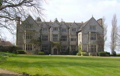
Plumpton Place
2 km
Wings Place
2.5 km
Ditchling Museum of Art + Craft
2.6 km
Ditchling Common
3.5 km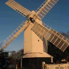
Oldland Mill
3.1 km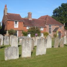
Ditchling Unitarian Chapel
2.3 km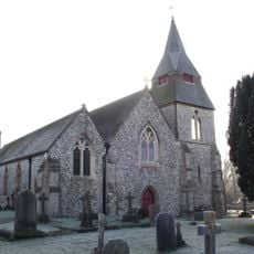
St Cosmas and St Damian Church, Keymer
3.6 km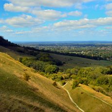
Clayton to Offham Escarpment
2.5 km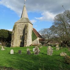
The Parish Church of St Michael and All Angels, Plumpton
1.8 km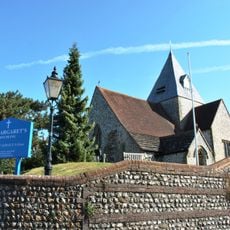
The Parish Church of St Margaret, Ditchling
2.5 km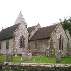
Streat Church
47 m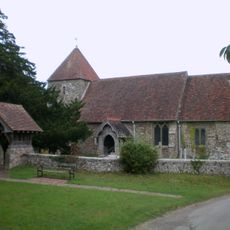
The Parish Church
1.9 km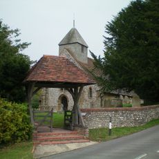
The Parish Church of St Martin
1.9 km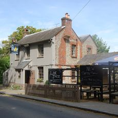
The Half Moon Inn
2.3 km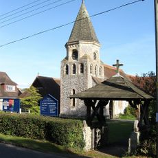
All Saints
2.2 km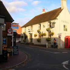
The Bull Hotel
2.4 km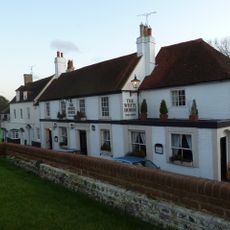
The White Horse Hotel
2.5 km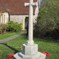
Plumpton Green War Memorial
2.2 km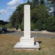
Ditchling War Memorial
2.6 km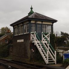
Plumpton Signal Box
1.7 km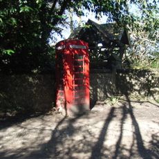
K6 Kiosk, Outside Church Lychgate
80 m
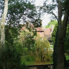
Streat Place
78 m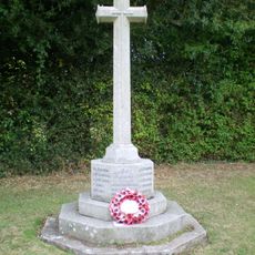
East Chiltington War Memorial
1.9 km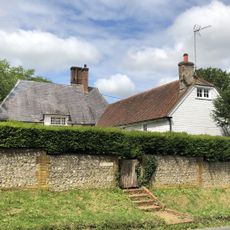
The Eugh
2.2 km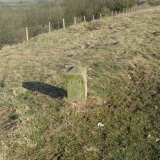
Hillfort, a beacon and dewpond on Ditchling Beacon
2.9 km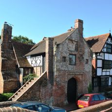
Cotterlings
2.6 km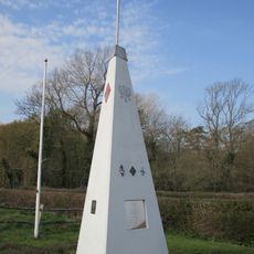
RAF Chailey WWII Memorial
3.4 km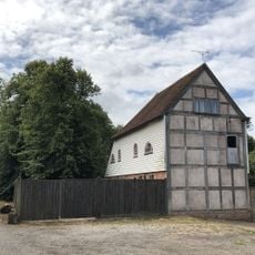
Barn Or Stables To West Of Stantons Farmhouse
2 kmVisited this place? Tap the stars to rate it and share your experience / photos with the community! Try now! You can cancel it anytime.
Discover hidden gems everywhere you go!
From secret cafés to breathtaking viewpoints, skip the crowded tourist spots and find places that match your style. Our app makes it easy with voice search, smart filtering, route optimization, and insider tips from travelers worldwide. Download now for the complete mobile experience.

A unique approach to discovering new places❞
— Le Figaro
All the places worth exploring❞
— France Info
A tailor-made excursion in just a few clicks❞
— 20 Minutes