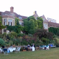
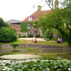
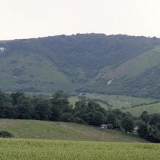
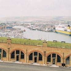
Lewes, local government district in East Sussex, England
Location: East Sussex
Capital city: Lewes
Website: http://lewes.gov.uk
GPS coordinates: 50.87389,0.00889
Latest update: March 6, 2025 08:23
Brighton Community Stadium
6.6 km
Glyndebourne
3.9 km
Woodingdean Water Well
7.7 km
Charleston Farmhouse
8.3 km
Litlington White Horse
13.3 km
Monk's House
4 km
Volk's Electric Railway
11.5 km
Lewes Castle
167 m
World's End, West Sussex
13.5 km
The Dripping Pan
592 m
Anne of Cleves House
612 m
Brighton Wheel
11.8 km
Plumpton Place
6.3 km
Sheffield Park Garden
14 km
Lewes Priory
641 m
St Peter's Church, Brighton
11.3 km
Saltdean Lido
8.8 km
Amex House
11.5 km
Whitehawk Camp
9.9 km
Kemp Town
10.6 km
Stanmer Park
7.9 km
Ovingdean Grange
8.8 km
Wings Place
10.2 km
Stanmer House
7.9 km
St Margaret's Church
8.8 km
Offham Hill Causewayed Enclosure
2.2 km
Bentley Wildfowl and Motor Museum
9.1 km
Newhaven Fort
10.6 kmVisited this place? Tap the stars to rate it and share your experience / photos with the community! Try now! You can cancel it anytime.
Discover hidden gems everywhere you go!
From secret cafés to breathtaking viewpoints, skip the crowded tourist spots and find places that match your style. Our app makes it easy with voice search, smart filtering, route optimization, and insider tips from travelers worldwide. Download now for the complete mobile experience.
A unique approach to discovering new places❞
— Le Figaro
All the places worth exploring❞
— France Info
A tailor-made excursion in just a few clicks❞
— 20 Minutes