White Shieling, architectural structure in Sundridge with Ide Hill, Sevenoaks, Kent, UK
Location: Sundridge with Ide Hill
GPS coordinates: 51.27463,0.14212
Latest update: November 20, 2025 18:04
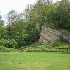
Dryhill Nature Reserve
503 m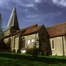
Church of St Mary
898 m
18-22, Church Road
1.1 km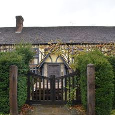
Dryhill Farmhouse
126 m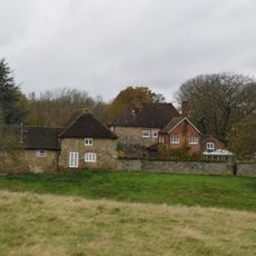
Sundridge Place
913 m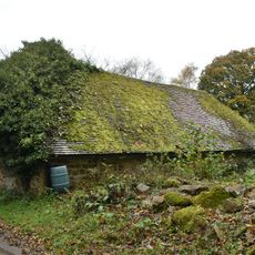
Small Barn To South East Of Dryhill Farmhouse
171 m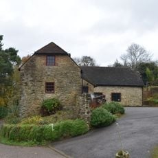
Outbuilding To North East Of Dryhill Farmhouse
112 m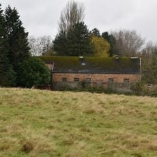
Large Barn To South East Of Sundridge Place With Outbuildings Adjoining
886 m
The Manor House
1.1 km
The Clock House Stores
1.1 km
Wall To South Of The Manor House
1 km
Well Cottage
1 km
Wellers Farmhouse
137 m
Chapman's Farmhouse
1 km
Lych Gate To West Of Church Of St Mary
936 m
Judge's Cottages
793 m
Boundary Wall To West Of Grounds Of The Old Rectory
1 km
94-98, Church Road
1 km
7-11, Church Road
1.1 km
Parkview Prospect Cottage
934 m
The Old Rectory
1 km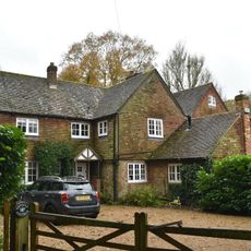
Dry Hill Cottage The Old Cottage
51 m
Large Barn To North West Of Dryhill Farmhouse
101 m
Old Garden Wall To East Of Dryhill Farmhouse
136 m
Bishops Court
824 m
Garden Walls To East And North Of Sundridge Place
866 m
Retaining Wall And Terrace In Front Of Nos 29-33 Odd
811 m
3 and 5, Church Road
1.1 kmReviews
Visited this place? Tap the stars to rate it and share your experience / photos with the community! Try now! You can cancel it anytime.
Discover hidden gems everywhere you go!
From secret cafés to breathtaking viewpoints, skip the crowded tourist spots and find places that match your style. Our app makes it easy with voice search, smart filtering, route optimization, and insider tips from travelers worldwide. Download now for the complete mobile experience.

A unique approach to discovering new places❞
— Le Figaro
All the places worth exploring❞
— France Info
A tailor-made excursion in just a few clicks❞
— 20 Minutes