
The Manger Public House, pub in Bradfield Combust with Stanningfield, St. Edmundsbury, Suffolk, UK
Location: Bradfield Combust with Stanningfield
GPS coordinates: 52.18170,0.76666
Latest update: March 4, 2025 03:54

Coldham Hall
3.2 km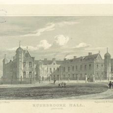
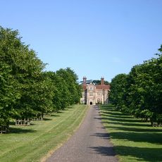
Rushbrooke Hall
3.8 km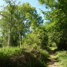
Bradfield Woods
3.9 km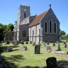
All Saints Church, Lawshall
4.1 km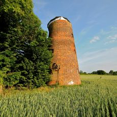
Tutelina Mill
2.9 km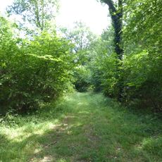
Bull's Wood
4.2 km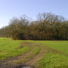
Frithy and Chadacre Woods
3.9 km
Church of St Clare
1.8 km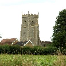
St Georges's Church
3 km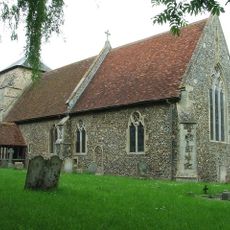
St Nicholas' Church
1.8 km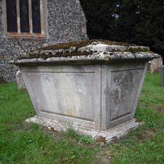
Tomb Chest, 6 Metres South Of Chancel Of All Saints Church
28 m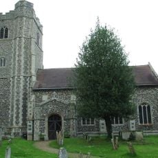
All Saints Church, Hawstead
4.1 km
Church of St Thomas à Becket, Great Whelnetham
2.5 km
Church of St Nicholas
4.2 km
Church of St Peter
2.6 km
Church of St Mary Magdalene, Little Whelnetham
2.8 km
All Saints Church
27 m
Coldham Hall Chapel
3.2 km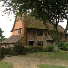
Church House
2.6 km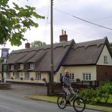
Swan Inn
4 km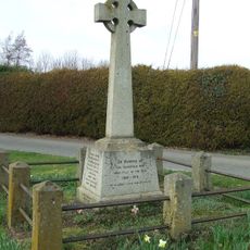
Cockfield War Memorial
3 km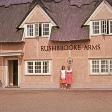
The Rushbrooke Arms Public House
3.7 km
Upper Church Farmhouse
2.7 km
Bradfield Hall
351 m
Round House
3.7 km
Metcalfe Almshouses
3.8 km
Cullum House And The Old Primary School And Outbuilding Adjacent To The Rear
3.7 km
Church Farmhouse
1.8 kmReviews
Visited this place? Tap the stars to rate it and share your experience / photos with the community! Try now! You can cancel it anytime.
Discover hidden gems everywhere you go!
From secret cafés to breathtaking viewpoints, skip the crowded tourist spots and find places that match your style. Our app makes it easy with voice search, smart filtering, route optimization, and insider tips from travelers worldwide. Download now for the complete mobile experience.

A unique approach to discovering new places❞
— Le Figaro
All the places worth exploring❞
— France Info
A tailor-made excursion in just a few clicks❞
— 20 Minutes