Hurst Farm, agricultural structure in Reigate and Banstead, Surrey, UK
Location: Reigate and Banstead
GPS coordinates: 51.28991,-0.27073
Latest update: October 25, 2025 18:08
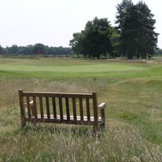
Walton Heath Golf Club
2.9 km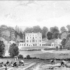
Woodcote Park
2.8 km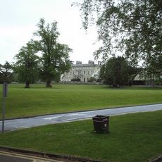
Ashtead Park
2.3 km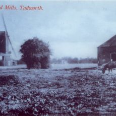
New Mill
3 km
Pinfold Manor
2.2 km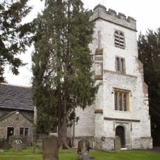
Church of St Giles, Ashtead
2.5 km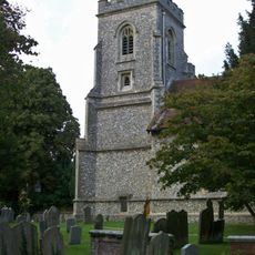
Church of St Peter
1.9 km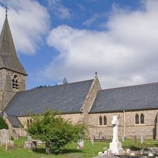
Church of St Mary the Virgin
1.1 km
Bridgman Monument Approximately 8 Metres South Of Corner Of Chancel Of Church Of St Giles
2.5 km
Hamelot Monument Approximately 18 Metres South East Of Chancel Of Church Of St Giles
2.4 km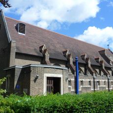
Church of the Good Shepherd
2.4 km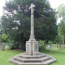
Walton on the Hill War Memorial
1.9 km
Coal Tax Post In The Garden Of The Rise
2.2 km
Coal Tax Post At Ngr Tq 23005478
2.6 km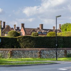
Headley Court And Attached Former Stables
1 km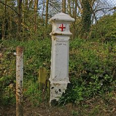
Coal Tax Post At Ngr Tq 22575579
1.9 km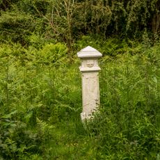
Coal Tax Post At Ngr Tq 23155456
2.8 km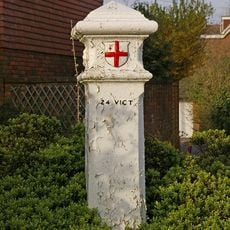
Coal Tax Post At Ngr 2273 5533
2.1 km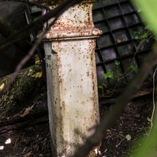
Coal Tax Post At N0 44
1.9 km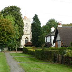
Walton on the Hill
1.7 km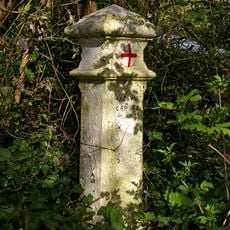
Coal Tax Post At Ngr 2286 5510
2.3 km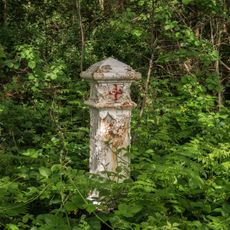
Coal Tax Post At Ngr Tq 23075469
2.7 km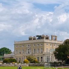
Ashtead Park House And Attached Balustrades
2.3 km
Monument 5 Metres South Of Chancel Of Church Of St Giles
2.5 km
Beckford Monument Approximately 8 Metres East Of Chancel Of Church Of St Giles
2.5 km
Ranmore Vista
2.6 km
The Mound
2.8 km
Scenic viewpoint
2.7 kmReviews
Visited this place? Tap the stars to rate it and share your experience / photos with the community! Try now! You can cancel it anytime.
Discover hidden gems everywhere you go!
From secret cafés to breathtaking viewpoints, skip the crowded tourist spots and find places that match your style. Our app makes it easy with voice search, smart filtering, route optimization, and insider tips from travelers worldwide. Download now for the complete mobile experience.

A unique approach to discovering new places❞
— Le Figaro
All the places worth exploring❞
— France Info
A tailor-made excursion in just a few clicks❞
— 20 Minutes