The Fishery, architectural structure in Stratfield Turgis, Basingstoke and Deane, Hampshire, UK
Location: Stratfield Turgis
GPS coordinates: 51.33014,-1.01852
Latest update: November 22, 2025 03:57
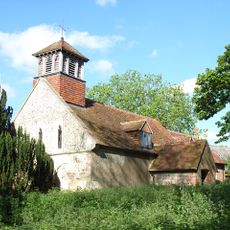
Church of All Saints
731 m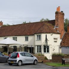
The White Hart Public House
1.5 km
The Cricketers Public House
1.2 km
Wellington Cottage
1.3 km
Laylands Cottage
1.3 km
Bow Bridge Cottage
1.4 km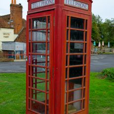
K6 Telephone Kiosk South South West Of The White Hart Public House
1.5 km
Heywood Farm
721 m
Turgis House
1.2 km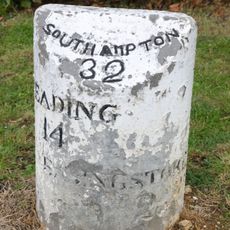
Milestone On A33 At Ngr 682583
1.2 km
Wheeler's Farmhouse
1.1 km
Well House
993 m
Barn And Outbuildings South-East Of Floods Farmhouse
970 m
Pembrokes
1.4 km
Longbridge Mill House
1.3 km
Hartley House
1.4 km
Turgis Court
784 m
Granary East Of Floods Farmhouse
947 m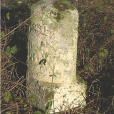
Milestone On A33 At Ngr 695 592
1.1 km
Barn East of Church
756 m
Cartshed South Of Floods Farmhouse
971 m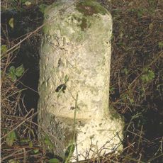
Milestone, Turgis Green
1.1 km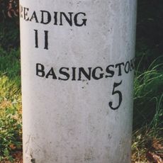
Milestone, Corner of Longbridge close, Housing Estate by Bridge
1.2 km
Longbridge Mill
1.3 km
Ives Farmhouse
1.2 km
Floods Farmhouse
919 m
The Thatched Cottage
1.5 km
Jeckyll And Hyde Public House
1.2 kmReviews
Visited this place? Tap the stars to rate it and share your experience / photos with the community! Try now! You can cancel it anytime.
Discover hidden gems everywhere you go!
From secret cafés to breathtaking viewpoints, skip the crowded tourist spots and find places that match your style. Our app makes it easy with voice search, smart filtering, route optimization, and insider tips from travelers worldwide. Download now for the complete mobile experience.

A unique approach to discovering new places❞
— Le Figaro
All the places worth exploring❞
— France Info
A tailor-made excursion in just a few clicks❞
— 20 Minutes