
Barn East of Church, barn in Stratfield Turgis, Basingstoke and Deane, Hampshire, UK
Location: Stratfield Turgis
GPS coordinates: 51.33462,-1.01034
Latest update: September 4, 2025 17:03
Stratfield Saye House
1.9 km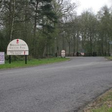
Wellington Country Park
4.6 km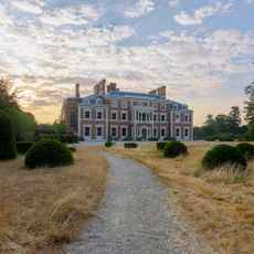
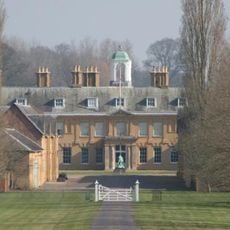
Heckfield Place
4.3 km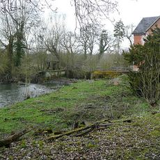
Stanford End Mill and River Loddon
3.8 km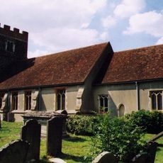
Church of St Michael
3.3 km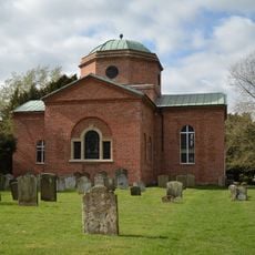
Church of St. Mary the Virgin, Stratfield Saye
1.5 km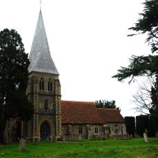
Church of St. Leonard
3.7 km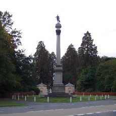
Wellington Monument
3.1 km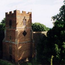
Rotherwick Church
4.3 km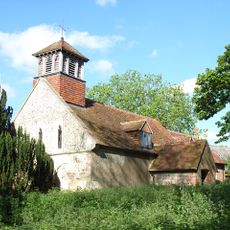
Church of All Saints
39 m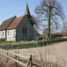
Church of St Mary the Blessed Virgin
1.8 km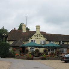
New Inn
3.5 km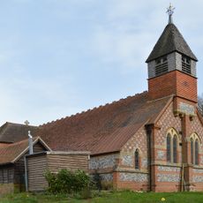
Church of St Mary the Virgin
4.5 km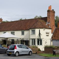
The White Hart Public House
2.2 km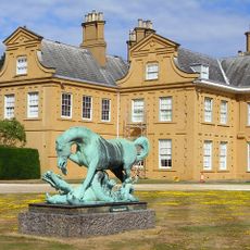
Statue of Horse and Dragon
1.9 km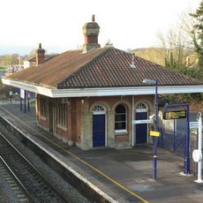
Mortimer Station
4.5 km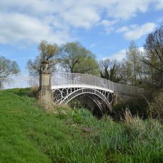
Bridge Over The River Loddon
1.4 km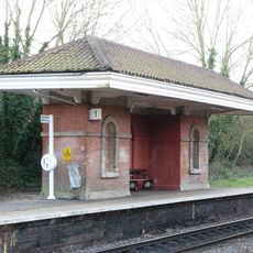
Waiting Room At Mortimer Station On South West Side Of Railway Line
4.5 km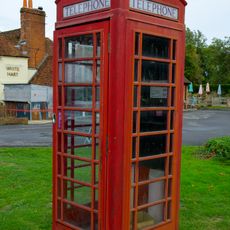
K6 Telephone Kiosk South South West Of The White Hart Public House
2.2 km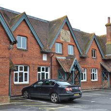
The Old School House
2.3 km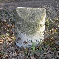
Milestone
2.8 km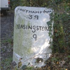
Milestone
3.6 km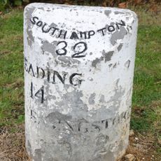
Milestone On A33 At Ngr 682583
1.9 km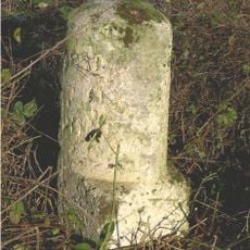
Milestone On A33 At Ngr 695 592
950 m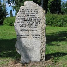
Milestone, Sherfield Village Centre
2.2 km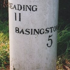
Milestone, Corner of Longbridge close, Housing Estate by Bridge
1.9 km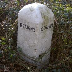
Milestone, Wellington County Park, Riseley
4.2 km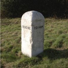
Milestone, Heckfield, by jct. with road to Heckfield Memorial Hall
3.5 kmReviews
Visited this place? Tap the stars to rate it and share your experience / photos with the community! Try now! You can cancel it anytime.
Discover hidden gems everywhere you go!
From secret cafés to breathtaking viewpoints, skip the crowded tourist spots and find places that match your style. Our app makes it easy with voice search, smart filtering, route optimization, and insider tips from travelers worldwide. Download now for the complete mobile experience.

A unique approach to discovering new places❞
— Le Figaro
All the places worth exploring❞
— France Info
A tailor-made excursion in just a few clicks❞
— 20 Minutes