
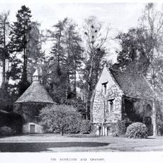
Bluecoat School, school building in Bisley-with-Lypiatt, Stroud, Gloucestershire, UK
Location: Bisley-with-Lypiatt
GPS coordinates: 51.75230,-2.14174
Latest update: April 14, 2025 19:52
Lypiatt Park
1.7 km
Strawberry Banks
2.8 km
Swift's Hill SSSI
2.7 km
Three Groves Wood
3.2 km
Rough Bank, Miserden
2.8 km
Juniper Hill, Edgeworth
2.5 km
Snows Farm Nature Reserve
2.7 km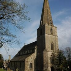
Church of All Saints
64 m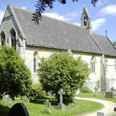
Church of St John the Baptist
2.9 km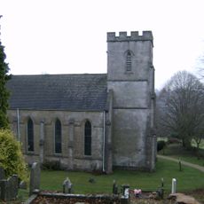
Church of St Bartholomew
2.8 km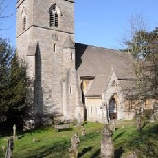
Church of St Michael and All Angels
3.2 km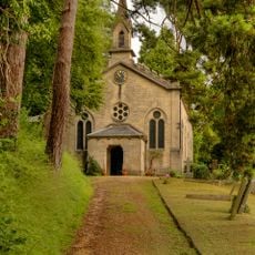
Church of Holy Trinity
3.4 km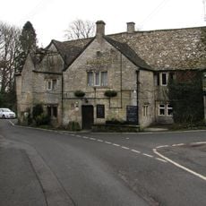
The Bear Inn
85 m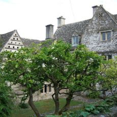
Througham Court
2.6 km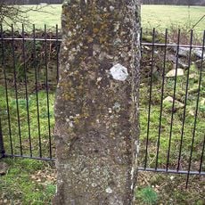
Lypiatt Cross
1.3 km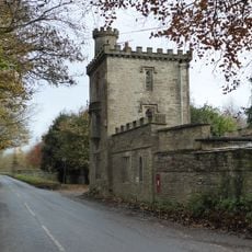
Lodge And Gateway To Lypiatt Park
2.2 km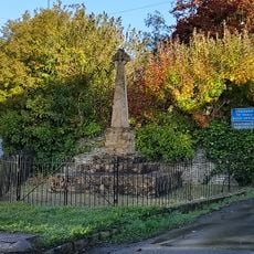
Bisley War Memorial
206 m
Southview
209 m
Vatch House
3.2 km
Woodside House
3.3 km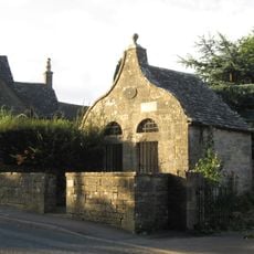
Lock Up With Forecourt Wall
98 m
Througham Slad Farmhouse Including 2 Walled Courtyards With Gate Pier
2 km
Abbey Farmhouse
3 km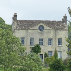
Down Farmhouse
3 km
Milestone Approximately 10 Metres South East Of Lock Up
97 m
Milestone, Bisley Road
618 m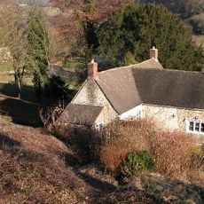
Rose Bank
3.3 km
Milestone, Catswood Lane, 450m E Ansteads Farm entrance
1.6 kmReviews
Visited this place? Tap the stars to rate it and share your experience / photos with the community! Try now! You can cancel it anytime.
Discover hidden gems everywhere you go!
From secret cafés to breathtaking viewpoints, skip the crowded tourist spots and find places that match your style. Our app makes it easy with voice search, smart filtering, route optimization, and insider tips from travelers worldwide. Download now for the complete mobile experience.

A unique approach to discovering new places❞
— Le Figaro
All the places worth exploring❞
— France Info
A tailor-made excursion in just a few clicks❞
— 20 Minutes