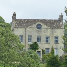
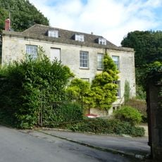
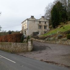
Lypiatt Park, Medieval manor house in Bisley-with-Lypiatt, England
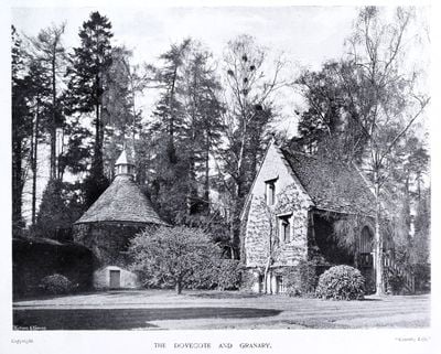
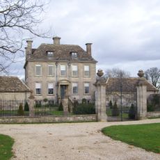
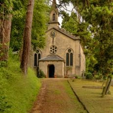
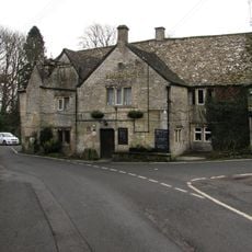
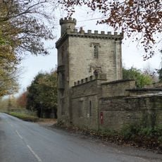
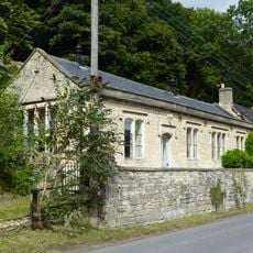
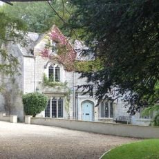
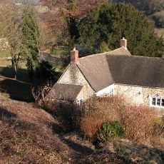
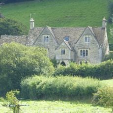
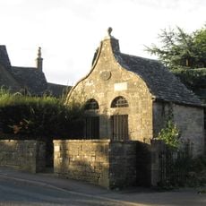
Lypiatt Park is a large stone country house with two irregular courtyards and a medieval chapel standing on extensive grounds near Stroud, Gloucestershire. The building grew over generations, combining older sections with additions made in the early 1800s by architect Jeffrey Wyattville.
The house was first recorded in 1220 and later came into the hands of Richard Whittington, Lord Mayor of London, who purchased it in 1395 to settle a debt dispute between previous owners. The estate remained an important seat for wealthy families in the Gloucestershire region across the following centuries.
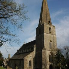
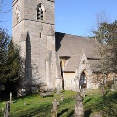
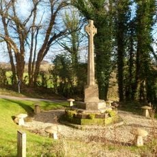
The medieval chapel on the grounds reflects the spiritual life that shaped the estate's design and purpose over time. The way rooms and courtyards connect reveals how wealthy families organized their daily routines and received guests.
The estate has limited public access, though the grounds occasionally open for exhibitions showcasing sculptures from a former owner's collection. Check ahead to learn when such events occur and which areas visitors can access.
The grounds inspired a musician during a visit, leading to the creation of a song that later became known worldwide through a legendary band. The connection between this place and that musical moment remains a curious thread linking the estate to popular culture.
The community of curious travelers
AroundUs brings together thousands of curated places, local tips, and hidden gems, enriched daily by 60,000 contributors worldwide.