
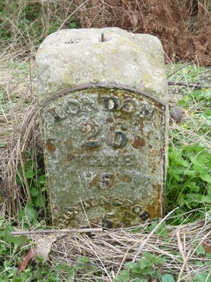
Milestone, milestone in Standon, East Hertfordshire, Hertfordshire, UK
Location: Standon
Inception: 1742
GPS coordinates: 51.88062,-0.00013
Latest update: March 7, 2025 04:01
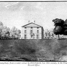
Youngsbury
4.3 km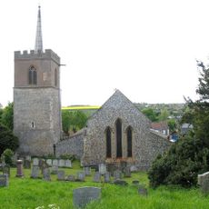
Church of St Mary
1.9 km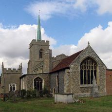
Parish Church of St Mary the Virgin, Braughing
3.6 km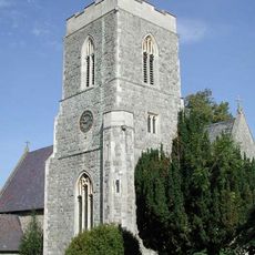
Church of St John the Evangelist
3.7 km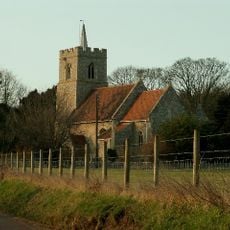
Parish Church of All Saints
4.3 km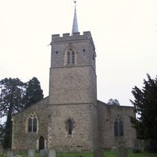
Parish Church of St Nicholas (church of England)
3 km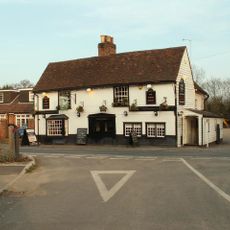
The White Horse Inn
3.9 km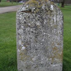
Milestone In Hamels Park (600 Metres To West Of Lodges)
2.2 km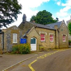
Little Munden Jmi School (South East Wing) (50 Metres To South Of Church)
4.3 km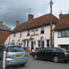
The Axe And Compasses Public House
3.7 km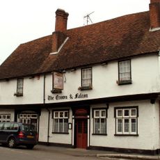
Crown And Falcon Public House
1.5 km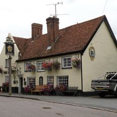
The Star Public House
1.9 km
Rest And Welcome Public House
4 km
The Brown Bear Public House
3.6 km
The White Hart Public House
1.7 km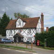
Post Office
3.4 km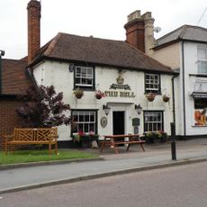
The Bell Public House
1.9 km
Standon Lordship West, And Standon Lordship East (on West Back Of River Rib 1 Kilometre South Of Standon Village)
1.6 km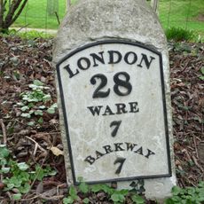
Milestone (50 Metres To North Of Griggs Bridge)
3.1 km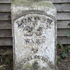
Milestone (Next South East Corner Of Inglenook Cottage)
1.6 km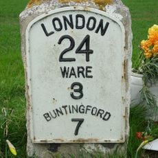
Milestone
3.2 km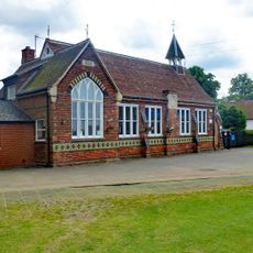
High Cross Puller Memorial C Of E Primary School (100 Metres To North Of Church)
3.6 km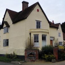
Farmhouse At Fordstreet Farm
3.3 km
54,56,58 and 60, High Street
1.4 km
Farmhouse At Fisher's Farm
1.5 km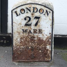
Milestone (Next South East Corner Of No 16)
1.6 km
Benedict
3.7 km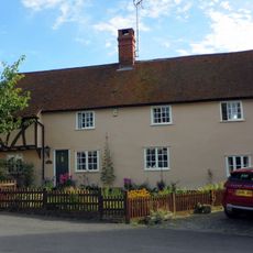
The Old Bakehouse
3.6 kmReviews
Visited this place? Tap the stars to rate it and share your experience / photos with the community! Try now! You can cancel it anytime.
Discover hidden gems everywhere you go!
From secret cafés to breathtaking viewpoints, skip the crowded tourist spots and find places that match your style. Our app makes it easy with voice search, smart filtering, route optimization, and insider tips from travelers worldwide. Download now for the complete mobile experience.

A unique approach to discovering new places❞
— Le Figaro
All the places worth exploring❞
— France Info
A tailor-made excursion in just a few clicks❞
— 20 Minutes