
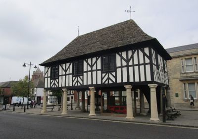
Town Hall, rathaus in Wootton Bassett, Wiltshire, UK
Location: Royal Wootton Bassett
GPS coordinates: 51.54169,-1.90487
Latest update: March 3, 2025 22:10
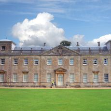
Lydiard Park
4.3 km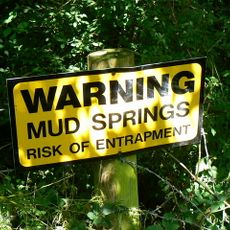
Wootton Bassett Mud Spring
1.5 km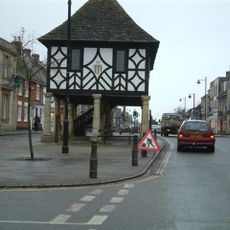
Wootton Bassett Museum
2 m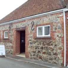
Aldbourne Heritage Centre
2 m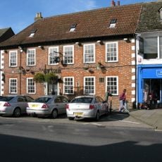
Angel Hotel
153 m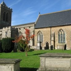
Church of St Bartholomew and All Saints
84 m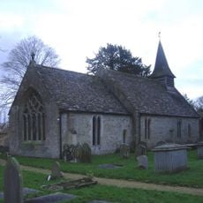
Church of St Giles
4.2 km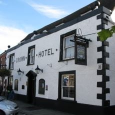
The Crown
140 m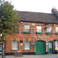
Cross Keys Inn
83 m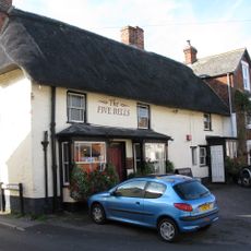
Five Bells Public House
88 m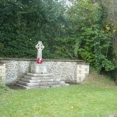
Tockenham War Memorial
3.5 km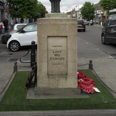
Royal Wootton Bassett War Memorial
54 m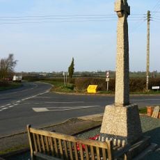
Lydiard Tregoze Parish War Memorial
2.6 km
Lydiard House
4.3 km
Milestone At Ngr Su 080831, Opposite Noremarsh Road
1.5 km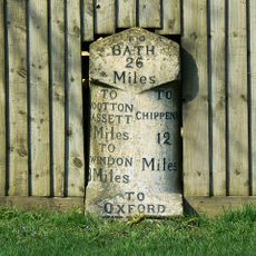
Milestone At Ngr Su 043810
2.8 km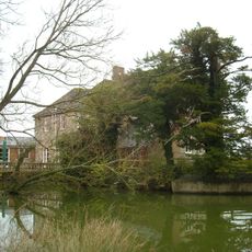
Queen's Court Farmhouse
4.1 km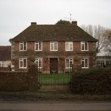
Greenway Farmhouse
4.1 km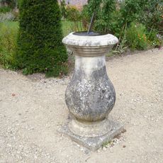
Sundial, On Terrace South Of South Corner Of Lydiard Park Mansion
4.3 km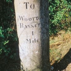
Milestone North Of Wootton Fields Farm
2.2 km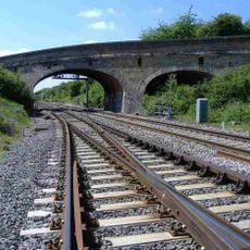
Hunts Mill Road Bridge
823 m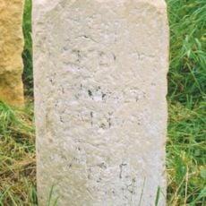
Milestone Opposite Highgate Farm At Ngr Su 046847
3 km
Lower Hook Farmhouse
2.9 km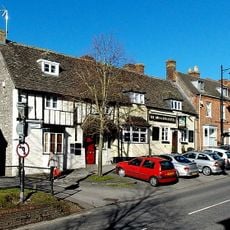
Waggon And Horses
169 m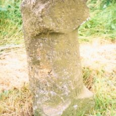
Milestone Near Spittleborough Farm, At Ngr Su 095828
2.8 km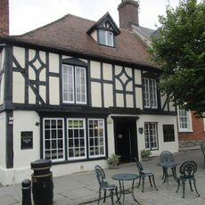
27, High Street
26 m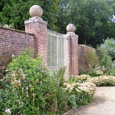
Walled Garden North West Of Lydiard Park
4.2 km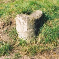
Milestone, entrance to barn and sheds beside Yew Tree Cottage and No. 23, Cotmarsh Turn
3.7 kmVisited this place? Tap the stars to rate it and share your experience / photos with the community! Try now! You can cancel it anytime.
Discover hidden gems everywhere you go!
From secret cafés to breathtaking viewpoints, skip the crowded tourist spots and find places that match your style. Our app makes it easy with voice search, smart filtering, route optimization, and insider tips from travelers worldwide. Download now for the complete mobile experience.

A unique approach to discovering new places❞
— Le Figaro
All the places worth exploring❞
— France Info
A tailor-made excursion in just a few clicks❞
— 20 Minutes