
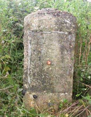
Milestone On West Side About 150 Metres North East Of County Boundary
Milestone On West Side About 150 Metres North East Of County Boundary, milestone in Luckington, Wiltshire, UK
Location: Luckington
Inception: 19 century
GPS coordinates: 51.53502,-2.26064
Latest update: April 5, 2025 14:17
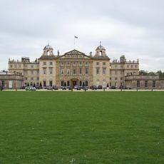
Badminton House
1.8 km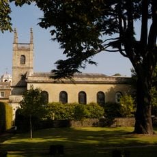
St Michael and All Angels Church, Badminton
1.7 km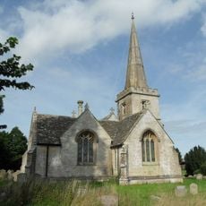
Church of St Giles
2.5 km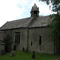
Parish Church of St Mary
1.5 km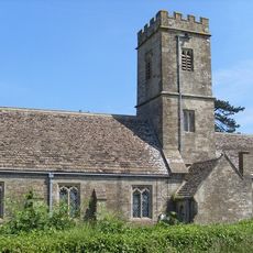
Church of All Saints
2 km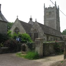
Church of St Mary
2.5 km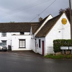
The Post Office Stores
2.5 km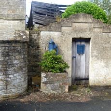
The Lock Up
2.5 km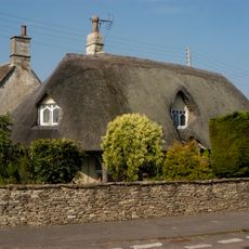
The Thatched Cottage
1.7 km
1 and 2, Old Down Road
1.7 km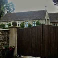
Luckington Manor
2.3 km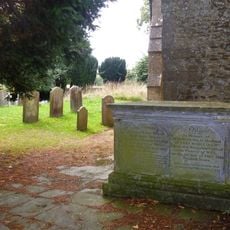
Isaac Family Chest Tomb; Immediately To West Of South Porch Of Parish Church Of St Mary
1.5 km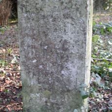
Milestone At Ngr St 7970 8257
2.4 km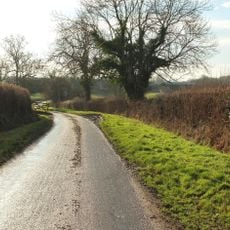
Allengrove Farmhouse
1.9 km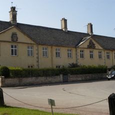
The Almshouse And Former School And Boundary Walls And Gate Piers To The Road
1.8 km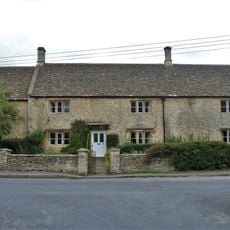
Hollybush Farmhouse
1.5 km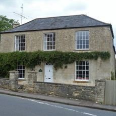
Chestnut House
1.4 km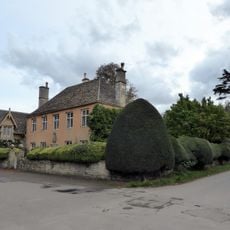
Essex House, And Front Boundary Walls And Gate Piers
1.8 km
Sladbrook House
2.5 km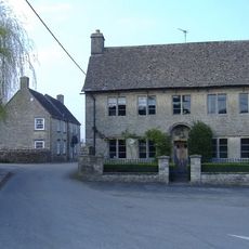
The Pump House
2.5 km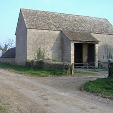
Lypiatt Barn
2.4 km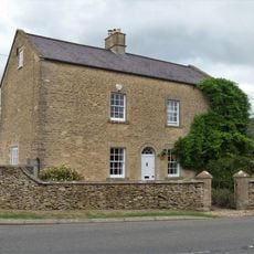
2, Luckington Road
1.3 km
Giant's Cave: a chambered long barrow 750m south west of Allengrove Farm
1.1 km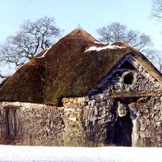
Hermit's Cell The Root House
2.2 km
Badminton House Servants Wing, Adjoining And Immediately To The South West Of Badminton House
1.8 km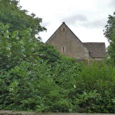
Barn, 10 Yards To South East Of Hollybush Farmhouse
1.5 km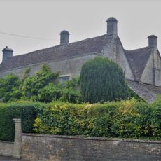
Claremont
2.4 km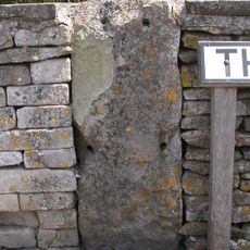
Milestone, The Limes, just S jcn High Street
1.9 kmReviews
Visited this place? Tap the stars to rate it and share your experience / photos with the community! Try now! You can cancel it anytime.
Discover hidden gems everywhere you go!
From secret cafés to breathtaking viewpoints, skip the crowded tourist spots and find places that match your style. Our app makes it easy with voice search, smart filtering, route optimization, and insider tips from travelers worldwide. Download now for the complete mobile experience.

A unique approach to discovering new places❞
— Le Figaro
All the places worth exploring❞
— France Info
A tailor-made excursion in just a few clicks❞
— 20 Minutes