
Boundary Walls To Church Of The Good Shepherd, wall in The City of Brighton and Hove, West Sussex, UK
Location: Brighton and Hove
GPS coordinates: 50.84152,-0.15820
Latest update: November 20, 2025 13:42
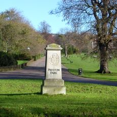
Preston Park
733 m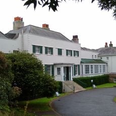
Preston Manor & Gardens
618 m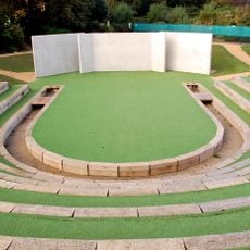
Brighton Open Air Theatre
678 m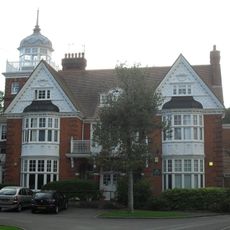
Tower House
725 m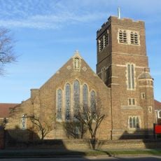
Church of the Good Shepherd, Brighton
24 m
St Peter's Church, Preston Village, Brighton
617 m
St John the Evangelist's Church, Preston Village, Brighton
611 m
Booth Museum of Natural History
613 m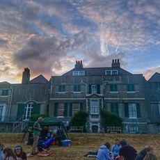
Preston Manor
583 m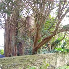
Wellhouse To Preston Manor
638 m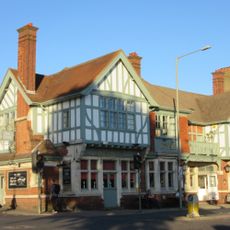
Former Dyke Road Hotel
393 m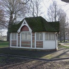
Octagonal Pavilion In Preston Park
877 m
Lamp Post Approx 10 Metres North Of Entrance Of St Peters Churchyard
615 m
17, Orange Row
410 m
Port Hall And Attached Walls
772 m
Theatre Workshop
469 m
Garden Walls Of Preston Manor To The South East Of The House
556 m
The Old Cottage And Little Barn And Mulberry Cottage
411 m
199, Preston Road
479 m
Booth Museum Of Natural History And Attached Walls And Railings
614 m
Brighton Transport Museum
541 m
Four Tombs In St Peters Churchyard
622 m
25 And 27, North Road
399 m
19, 21 And 23, North Road
404 m
Preston Twins
525 m
Purple Playhouse Theatre
859 m
7, 9 And 11, South Road
442 m
Gilded Elm
552 mReviews
Visited this place? Tap the stars to rate it and share your experience / photos with the community! Try now! You can cancel it anytime.
Discover hidden gems everywhere you go!
From secret cafés to breathtaking viewpoints, skip the crowded tourist spots and find places that match your style. Our app makes it easy with voice search, smart filtering, route optimization, and insider tips from travelers worldwide. Download now for the complete mobile experience.

A unique approach to discovering new places❞
— Le Figaro
All the places worth exploring❞
— France Info
A tailor-made excursion in just a few clicks❞
— 20 Minutes