
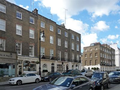
49-55, Lower Belgrave Street Sw1, City of Westminster, Greater London, SW1W
Location: City of Westminster
GPS coordinates: 51.49660,-0.14852
Latest update: March 26, 2025 01:12
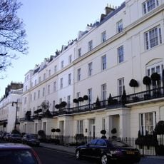
Chester Square
169 m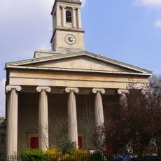
St Peter's Church, Eaton Square, London
144 m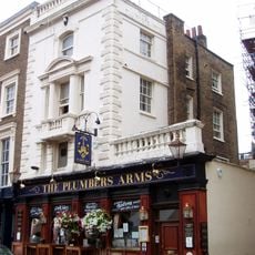
Plumbers Arms
66 m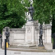
Rifle Brigade War Memorial
185 m
22 Ebury Street
88 m
12 and 13 Upper Belgrave Street
176 m
Lioness and Lesser Kudu
168 m
16-46, Lower Belgrave Street Sw1
52 m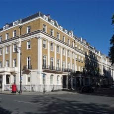
103–118 Eaton Square
181 m
16A, Wilton Street Sw1
184 m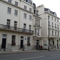
6, Hobart Place Sw1
105 m
Low Wall With Four Piers To Lygon Place
117 m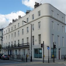
24-32, Eccleston Street Sw1
164 m
1–4 Hobart Place
113 m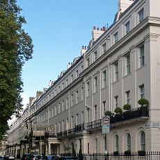
8-23 Eaton Square including 57 Lower Belgrave Street
63 m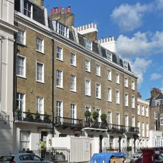
84-88, Chester Square Sw1
36 m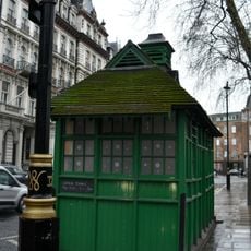
Cabmen's Shelter, Grosvenor Gardens
146 m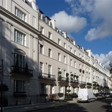
1-13, Chester Square Sw1
91 m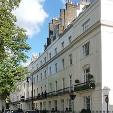
65-76, Chester Square Sw1
125 m
1-8 LYGON PLACE Ebury Street Sw1
110 m
Screen Wall And Gateway To Beeston Place
197 m
1-7, Eaton Square Sw1
60 m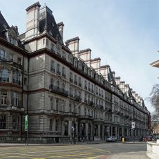
2-34, Grosvenor Gardens Sw1
132 m
14-23, Chester Square Sw1
168 m
47 Lower Belgrave Street
36 m
4-12, Lower Belgrave Street Sw1
98 m
36-50, Grosvenor Gardens Sw1
144 m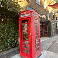
K6 Telephone Kiosk By Number 7
149 mVisited this place? Tap the stars to rate it and share your experience / photos with the community! Try now! You can cancel it anytime.
Discover hidden gems everywhere you go!
From secret cafés to breathtaking viewpoints, skip the crowded tourist spots and find places that match your style. Our app makes it easy with voice search, smart filtering, route optimization, and insider tips from travelers worldwide. Download now for the complete mobile experience.

A unique approach to discovering new places❞
— Le Figaro
All the places worth exploring❞
— France Info
A tailor-made excursion in just a few clicks❞
— 20 Minutes